Saint-Robert | |
|---|---|
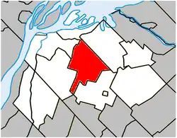 Location within Pierre-De Saurel RCM. | |
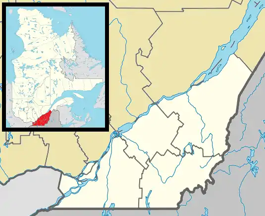 Saint-Robert Location in southern Quebec. | |
| Coordinates: 45°58′N 73°00′W / 45.967°N 73.000°W[1] | |
| Country | |
| Province | |
| Region | Montérégie |
| RCM | Pierre-De Saurel |
| Constituted | October 17, 1857 |
| Government | |
| • Mayor | Gilles Salvas |
| • Federal riding | Bas-Richelieu—Nicolet—Bécancour |
| • Prov. riding | Richelieu |
| Area | |
| • Total | 64.60 km2 (24.94 sq mi) |
| • Land | 64.85 km2 (25.04 sq mi) |
| There is an apparent contradiction between two authoritative sources | |
| Population (2011)[4] | |
| • Total | 1,794 |
| • Density | 27.7/km2 (72/sq mi) |
| • Pop 2006-2011 | |
| • Dwellings | 768 |
| Time zone | UTC−5 (EST) |
| • Summer (DST) | UTC−4 (EDT) |
| Postal code(s) | |
| Area code(s) | 450 and 579 |
| Highways | |
| Website | www |
Saint-Robert (French pronunciation: [sɛ̃ ʁɔbɛʁ]) is a municipality southeast of Sorel-Tracy in the Regional county municipality of Pierre-De Saurel, in Montérégie, Quebec. The population as of the Canada 2011 Census was 1,794. About 20 meteorites from the St-Robert meteorite shower were found here.
Demographics
PopulationPopulation trend: [5]
|
LanguageMother tongue language (2006)[6]
|
See also
References
- ↑ "Banque de noms de lieux du Québec: Reference number 404076". toponymie.gouv.qc.ca (in French). Commission de toponymie du Québec.
- 1 2 Ministère des Affaires municipales, des Régions et de l'Occupation du territoire: Saint-Robert
- ↑ Parliament of Canada Federal Riding History: BAS-RICHELIEU--NICOLET--BÉCANCOUR (Quebec)
- 1 2 2011 Statistics Canada Census Profile: Saint-Robert, Quebec
- ↑ Statistics Canada: 1996, 2001, 2006, 2011 census
- ↑ 2006 Statistics Canada Community Profile: Saint-Robert, Quebec
Adjacent Municipal Subdivisions | |
|---|---|
| Cities | |
|---|---|
| Municipalities | |
| Parishes | |
| Villages | |
| |
This article is issued from Wikipedia. The text is licensed under Creative Commons - Attribution - Sharealike. Additional terms may apply for the media files.