Saint Marks | |
|---|---|
 | |
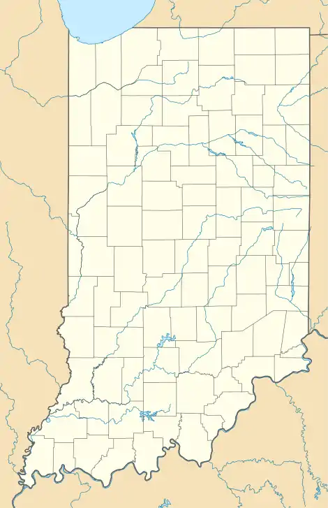  Saint Marks 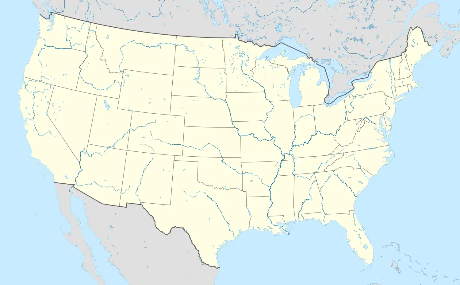 Saint Marks | |
| Coordinates: 38°18′20″N 86°49′05″W / 38.30556°N 86.81806°W | |
| Country | United States |
| State | Indiana |
| County | Dubois |
| Township | Jackson |
| Elevation | 525 ft (160 m) |
| Time zone | UTC-5 (EST) |
| • Summer (DST) | UTC-4 (EDT) |
| ZIP code | 47575 |
| Area code | 812 |
| FIPS code | 18-67014[2] |
| GNIS feature ID | 442675 |
Saint Marks is an unincorporated community in Jackson Township, Dubois County, in the U.S. state of Indiana.[3]
History
Saint Marks was laid out in 1872 by M. B. Cox.[4]
Geography
Saint Marks is located at 38°18′20″N 86°49′05″W / 38.30556°N 86.81806°W.
References
- ↑ "US Board on Geographic Names". United States Geological Survey. October 25, 2007. Retrieved January 31, 2008.
- ↑ "U.S. Census website". United States Census Bureau. Retrieved January 31, 2008.
- ↑ "Saint Marks, Indiana". Geographic Names Information System. United States Geological Survey, United States Department of the Interior. Retrieved July 5, 2016.
- ↑ Wilson, George R. (1910). History of Dubois County from Its Primitive Days to 1910. Windmill Publications. pp. 364.
Municipalities and communities of Dubois County, Indiana, United States | ||
|---|---|---|
| Cities | 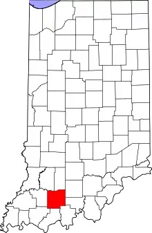 Map of Indiana highlighting Dubois County | |
| Towns | ||
| Townships | ||
| CDPs | ||
| Other communities | ||
| Ghost town | ||
| Footnotes | ‡This populated place also has portions in an adjacent county or counties | |
This article is issued from Wikipedia. The text is licensed under Creative Commons - Attribution - Sharealike. Additional terms may apply for the media files.