Sainte-Marie | |
|---|---|
Part of Valdoule | |
Location of Sainte-Marie | |
 Sainte-Marie 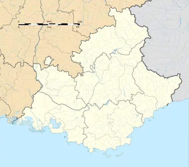 Sainte-Marie | |
| Coordinates: 44°27′59″N 5°28′33″E / 44.4664°N 5.4758°E | |
| Country | France |
| Region | Provence-Alpes-Côte d'Azur |
| Department | Hautes-Alpes |
| Arrondissement | Gap |
| Canton | Serres |
| Commune | Valdoule |
| Area 1 | 7.5 km2 (2.9 sq mi) |
| Population (2019)[1] | 36 |
| • Density | 4.8/km2 (12/sq mi) |
| Time zone | UTC+01:00 (CET) |
| • Summer (DST) | UTC+02:00 (CEST) |
| Postal code | 05150 |
| Elevation | 627–1,243 m (2,057–4,078 ft) (avg. 660 m or 2,170 ft) |
| 1 French Land Register data, which excludes lakes, ponds, glaciers > 1 km2 (0.386 sq mi or 247 acres) and river estuaries. | |
Sainte-Marie (French pronunciation: [sɛ̃t maʁi] ⓘ; Vivaro-Alpine: Santa Maria) is a former commune in the Hautes-Alpes department in southeastern France. On 1 July 2017, it was merged into the new commune Valdoule.[2]
Population
| Year | Pop. | ±% |
|---|---|---|
| 1962 | 52 | — |
| 1968 | 68 | +30.8% |
| 1975 | 60 | −11.8% |
| 1982 | 52 | −13.3% |
| 1990 | 42 | −19.2% |
| 1999 | 48 | +14.3% |
| 2008 | 42 | −12.5% |
See also
References
- ↑ Téléchargement du fichier d'ensemble des populations légales en 2019, INSEE
- ↑ Arrêté préfectoral 24 March 2017 (in French)
Wikimedia Commons has media related to Sainte-Marie (Hautes-Alpes).
This article is issued from Wikipedia. The text is licensed under Creative Commons - Attribution - Sharealike. Additional terms may apply for the media files.