Samoklęski Małe | |
|---|---|
Village | |
 Samoklęski Małe 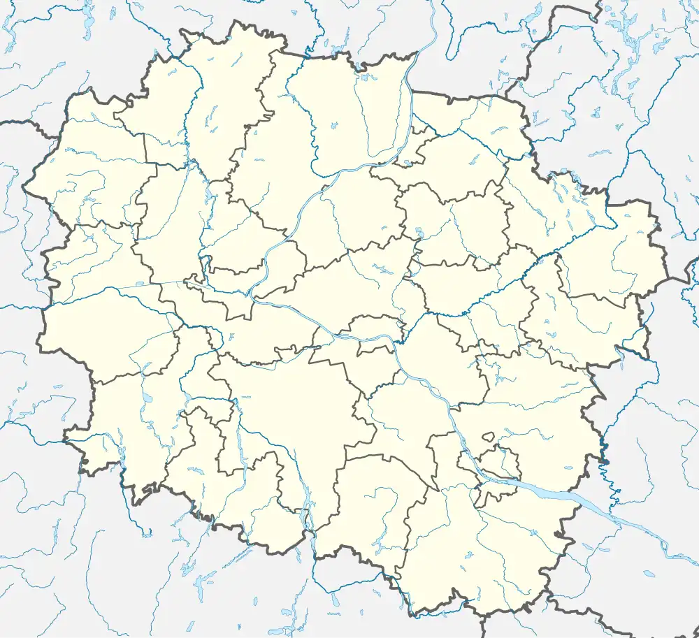 Samoklęski Małe | |
| Coordinates: 53°4′N 17°43′E / 53.067°N 17.717°E | |
| Country | |
| Voivodeship | Kuyavian-Pomeranian |
| County | Nakło |
| Gmina | Szubin |
| Population | 147 |
| Time zone | UTC+1 (CET) |
| • Summer (DST) | UTC+2 (CEST) |
| Vehicle registration | CNA |
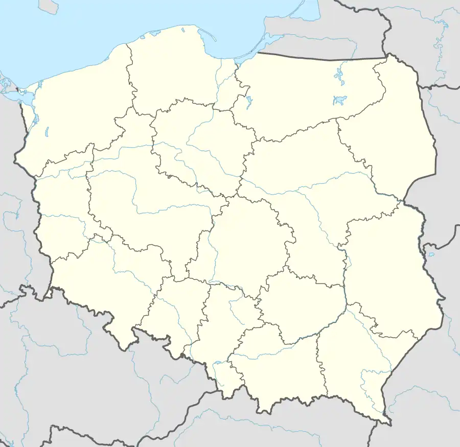
Samoklęski Małe [samɔˈklɛ̃ski ˈmawɛ] is a village in the administrative district of Gmina Szubin, within Nakło County, Kuyavian-Pomeranian Voivodeship, in north-central Poland.[1] It lies approximately 6 kilometres (4 mi) north of Szubin, 12 km (7 mi) south-east of Nakło nad Notecią, and 20 km (12 mi) west of Bydgoszcz.
History
Samoklęski Małe was a private village of Polish nobility, administratively located in the Kcynia County in the Kalisz Voivodeship in the Greater Poland Province of the Polish Crown.[2]
During the German occupation of Poland (World War II), in 1939, the German gendarmerie and Selbstschutz expelled several Polish families from the village.[3] Expelled Poles were initially detained in a transit camp in nearby Szubin, and then deported to the Radom District of the General Government (German-occupied central Poland), while their houses and farms were handed over to Germans as part of the Lebensraum policy.[3] One child died during the expulsion.[3]
References
- ↑ "Central Statistical Office (GUS) – TERYT (National Register of Territorial Land Apportionment Journal)" (in Polish). 2008-06-01.
- ↑ Atlas historyczny Polski. Wielkopolska w drugiej połowie XVI wieku. Część I. Mapy, plany (in Polish). Warsaw: Institute of History, Polish Academy of Sciences. 2017. p. 1b.
- 1 2 3 Wardzyńska, Maria (2017). Wysiedlenia ludności polskiej z okupowanych ziem polskich włączonych do III Rzeszy w latach 1939-1945 (in Polish). Warsaw: IPN. p. 179. ISBN 978-83-8098-174-4.