San Andrés Duraznal | |
|---|---|
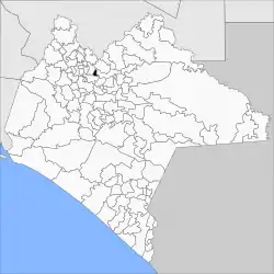 | |
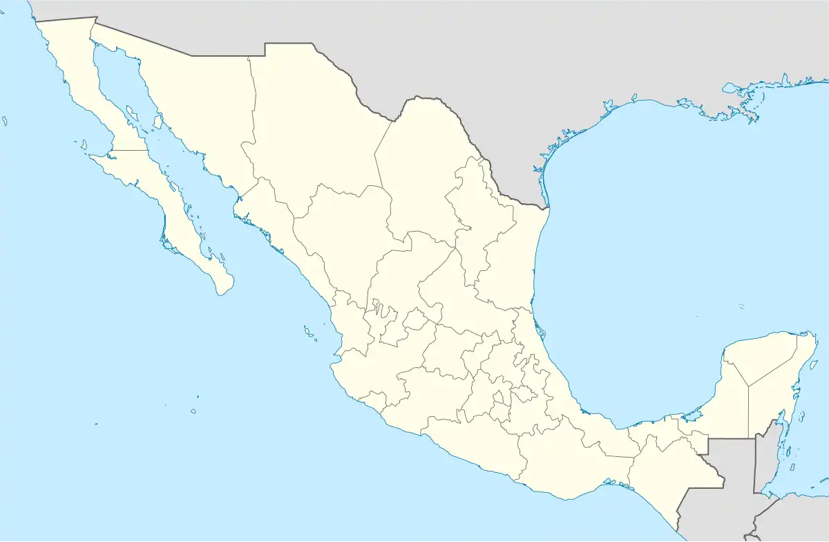 San Andrés Duraznal Location in Mexico | |
| Coordinates: 17°8′N 92°48′W / 17.133°N 92.800°W | |
| Country | |
| State | Chiapas |
| Area | |
| • Total | 11.5 sq mi (29.9 km2) |
| Population (2010) | |
| • Total | 4,545 |
San Andrés Duraznal is a town and municipality in the Mexican state of Chiapas in southern Mexico.
As of 2010, the municipality had a total population of 4,545,[1] up from 3,423 as of 2005.[2] It covers an area of 29.9 km².
As of 2010, the town of San Andrés Duraznal had a population of 2,987.[1] Other than the town of San Andrés Duraznal, the municipality had 12 localities, none of which had a population over 1,000.[1]
References
- 1 2 3 "San Andrés Duraznal". Catálogo de Localidades. Secretaría de Desarrollo Social (SEDESOL). Retrieved 23 April 2014.
- ↑ "San Andrés Duraznal". Enciclopedia de los Municipios de México. Instituto Nacional para el Federalismo y el Desarrollo Municipal Gobierno del Estado de Chiapas. Retrieved July 27, 2008.

This article is issued from Wikipedia. The text is licensed under Creative Commons - Attribution - Sharealike. Additional terms may apply for the media files.