Santa Engracia del Jubera | |
|---|---|
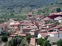 Skyline of Santa Engracia del Jubera | |
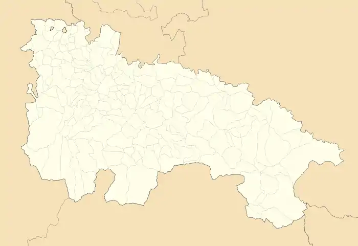 Santa Engracia del Jubera Location within La Rioja.  Santa Engracia del Jubera Santa Engracia del Jubera (Spain) | |
| Coordinates: 42°18′53″N 2°18′22″W / 42.31472°N 2.30611°W | |
| Country | |
| Autonomous community | |
| Comarca | Logroño |
| Government | |
| • Mayor | Óscar Fernández Fernández (PP) |
| Area | |
| • Total | 86.07 km2 (33.23 sq mi) |
| Elevation | 655 m (2,149 ft) |
| Population (2018)[1] | |
| • Total | 154 |
| Postal code | 26131 |
Santa Engracia del Jubera is a village in the province and autonomous community of La Rioja, Spain. The municipality covers an area of 86.07 square kilometres (33.23 sq mi) and as of 2011 had a population of 186 people.[2]
Demographics
Population centres
- Santa Engracia del Jubera
- Bucesta
- El Collado
- Jubera
- Reinares
- San Bartolomé
- San Martín
- Santa Cecilia
- Santa Marina
References
- ↑ Municipal Register of Spain 2018. National Statistics Institute.
- ↑ "La Rioja: Población por municipios y sexo:Cifras oficiales de población resultantes de la revisión del Padrón municipal a 1 de enero de 2011". Instituto Nacional de Estadística. Retrieved 28 May 2012.
This article is issued from Wikipedia. The text is licensed under Creative Commons - Attribution - Sharealike. Additional terms may apply for the media files.