Santiago Tepetlapa | |
|---|---|
Municipality and town | |
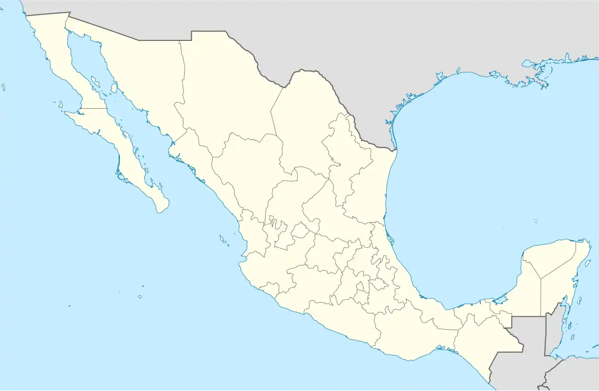 Santiago Tepetlapa Location in Mexico | |
| Coordinates: 17°46′55″N 97°24′03″W / 17.78194°N 97.40083°W | |
| Country | |
| State | Oaxaca |
| Government | |
| Elevation | 2,172 m (7,126 ft) |
| Population (2010) | |
| • Municipality and town | 131 |
| • Urban | 101 |
| Time zone | UTC-6 (Central Standard Time) |
| • Summer (DST) | UTC-5 (Central Daylight Time) |
Santiago Tepetlapa is a town and municipality in Oaxaca, in southwestern Mexico. The municipality has an area of 13.624 km² and is part of the Coixtlahuaca district in the Mixteca Region.
Demography
As of the 2010 census, the town (locality) had a population of 101 inhabitants, while the municipality had a total population of 131 inhabitants.[1] It is the second-smallest municipality in Mexico in population, larger than only Santa Magdalena Jicotlán, also in Oaxaca.
References
- ↑ 2010 census tables: INEGI Archived 2013-05-02 at the Wayback Machine
This article is issued from Wikipedia. The text is licensed under Creative Commons - Attribution - Sharealike. Additional terms may apply for the media files.