Santo Isidoro | |
|---|---|
 Coat of arms | |
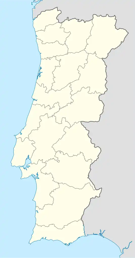 Santo Isidoro Location in Portugal | |
| Coordinates: 38°59′37″N 9°23′55″W / 38.993611°N 9.398611°W | |
| Country | |
| Region | Lisbon |
| District | Lisbon |
| Municipality | Mafra |
| Area | |
| • Total | 24.83 km2 (9.59 sq mi) |
| Population (2011) | |
| • Total | 3,814 |
| • Density | 150/km2 (400/sq mi) |
| Time zone | UTC±00:00 (WET) |
| • Summer (DST) | UTC+01:00 (WEST) |
| Postal code | 2640 |
| Patron | Isidore |
Santo Isidoro is a civil parish in the municipality of Mafra, Portugal. The population in 2011 was 3,814 in an area of 24.83 km².
Population
| Santo Isidoro Parish Population [1] | ||||||||||||||
|---|---|---|---|---|---|---|---|---|---|---|---|---|---|---|
| 1864 | 1878 | 1890 | 1900 | 1911 | 1920 | 1930 | 1940 | 1950 | 1960 | 1970 | 1981 | 1991 | 2001 | 2011 |
| 1 470 | 1 594 | 1 774 | 1 747 | 2 070 | 1 954 | 2 113 | 2 503 | 2 515 | 2 515 | 2 438 | 2 499 | 2 688 | 2 992 | 3 814 |
Villages
- Ribamar
- Picanceira
- Monte Bom
- Monte Godel
- Pucariça
- Lagoa
- Pedra Amassada
- Safarujo
- Penegache
- Junqueiros
- Bracial
- Casais de Monte Bom
- Palhais
Parishes of Mafra Municipality | ||
|---|---|---|
| ||
References
- ↑ Instituto Nacional de Estatística (Recenseamentos Gerais da População) - https://www.ine.pt/xportal/xmain?xpid=INE&xpgid=ine_publicacoes
This article is issued from Wikipedia. The text is licensed under Creative Commons - Attribution - Sharealike. Additional terms may apply for the media files.