Santpoort-Zuid | |
|---|---|
 | |
 Santpoort-Zuid Location in the Netherlands 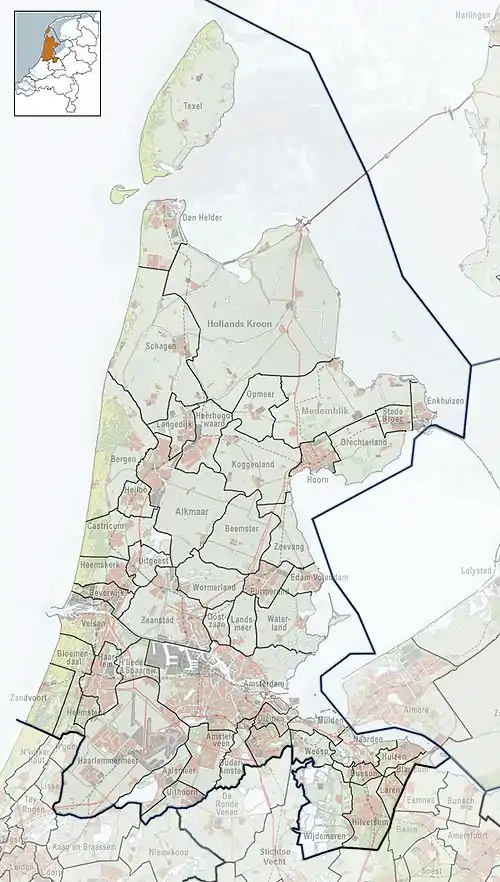 Santpoort-Zuid Location in the province of North Holland in the Netherlands | |
| Coordinates: 52°25′N 4°38′E / 52.417°N 4.633°E | |
| Country | Netherlands |
| Province | North Holland |
| Municipality | Velsen |
| Area | |
| • Total | 2.06 km2 (0.80 sq mi) |
| Elevation | 4.7 m (15.4 ft) |
| Population (2021)[1] | |
| • Total | 3,370 |
| • Density | 1,600/km2 (4,200/sq mi) |
| Time zone | UTC+1 (CET) |
| • Summer (DST) | UTC+2 (CEST) |
| Postal code | 2082[1] |
| Dialing code | 023 |
| Website | Tourist Info about Santpoort |
Santpoort-Zuid or South Santpoort is a village in the municipality of Velsen in the Dutch province of North Holland. It lies to the west of North Haarlem (Schoten). Santpoort-Zuid is bordered by the village of Bloemendaal to the south and the village of Santpoort-Noord to the north. There is a railway station in the village with a connection to Amsterdam Centraal station. The village is an upscale neighborhood with Dutch professionals residing there. It is one of the rare coastal forested areas protected by large dunes.
History
A famous historic site in Santpoort-Zuid is the Ruin of Brederode, as well as the formerly well-maintained Natuurbad, Velserend.
- 1941 newsreel by Polygoon-Profilti of people swimming at the Velserend baths
Near the village are the ruins of the 13th-century Brederode Castle.
Railway station
Santpoort-Zuid is served by Santpoort Zuid railway station.
References
- 1 2 3 "Kerncijfers wijken en buurten 2021". Central Bureau of Statistics. Retrieved 2 May 2022.
- ↑ "Postcodetool for 2082AA". Actueel Hoogtebestand Nederland (in Dutch). Het Waterschapshuis. Retrieved 2 May 2022.