Saraykent | |
|---|---|
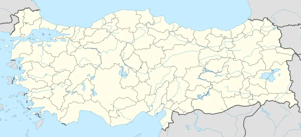  Saraykent Location in Turkey 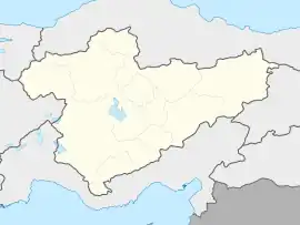 Saraykent Saraykent (Turkey Central Anatolia) | |
| Coordinates: 39°41′37″N 35°30′40″E / 39.69361°N 35.51111°E | |
| Country | Turkey |
| Province | Yozgat |
| District | Saraykent |
| Government | |
| • Mayor | Ahmet Öçal (AKP) |
| Elevation | 1,149 m (3,770 ft) |
| Population (2022)[1] | 5,687 |
| Time zone | TRT (UTC+3) |
| Postal code | 66320 |
| Area code | 0354 |
| Website | www |
Saraykent is a town in Yozgat Province in the Central Anatolia region of Turkey. The former name of the town is Karamağara.[2] It is the seat of Saraykent District.[3] Its population is 5,687 (2022).[1] Its elevation is 1,149 m (3,770 ft).[4]
References
- 1 2 "Address-based population registration system (ADNKS) results dated 31 December 2022, Favorite Reports" (XLS). TÜİK. Retrieved 22 May 2023.
- ↑ Sezen, Tahir. 2017. Osmanlı yer adları. p.423
- ↑ İlçe Belediyesi, Turkey Civil Administration Departments Inventory. Retrieved 22 May 2023.
- ↑ Falling Rain Genomics, Inc. "Geographical information on Saraykent, Turkey". Retrieved 12 June 2023.
External links
- District municipality's official website (in Turkish)
- General information on Saraykent (in Turkish)
| Municipalities | |
|---|---|
| Villages |
|
This article is issued from Wikipedia. The text is licensed under Creative Commons - Attribution - Sharealike. Additional terms may apply for the media files.