Sasvand | |
|---|---|
village | |
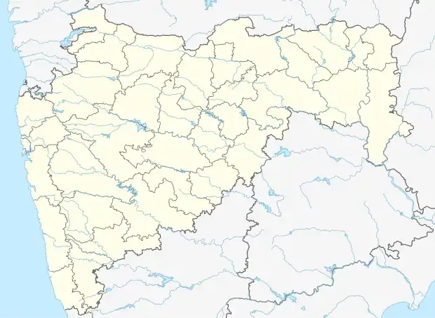 Sasvand Location in Maharashtra, India  Sasvand Sasvand (India) | |
| Coordinates: 20°01′59″N 72°54′22″E / 20.033053°N 72.9061903°E | |
| Country | India |
| State | Maharashtra |
| District | Palghar |
| Taluka | Dahanu |
| Elevation | 73 m (240 ft) |
| Population (2011) | |
| • Total | 266 |
| Time zone | UTC+5:30 (IST) |
| 2011 census code | 551651 |
Sasvand is a village in the Palghar district of Maharashtra, India. It is located in the Dahanu taluka.[1]
Demographics
According to the 2011 census of India, Sasvand has 52 households. The effective literacy rate (i.e. the literacy rate of population excluding children aged 6 and below) is 42.99%.[2]
| Total | Male | Female | |
|---|---|---|---|
| Population | 266 | 124 | 142 |
| Children aged below 6 years | 45 | 26 | 19 |
| Scheduled caste | 0 | 0 | 0 |
| Scheduled tribe | 261 | 121 | 140 |
| Literates | 95 | 54 | 41 |
| Workers (all) | 101 | 56 | 45 |
| Main workers (total) | 91 | 50 | 41 |
| Main workers: Cultivators | 53 | 30 | 23 |
| Main workers: Agricultural labourers | 0 | 0 | 0 |
| Main workers: Household industry workers | 0 | 0 | 0 |
| Main workers: Other | 38 | 20 | 18 |
| Marginal workers (total) | 10 | 6 | 4 |
| Marginal workers: Cultivators | 6 | 4 | 2 |
| Marginal workers: Agricultural labourers | 0 | 0 | 0 |
| Marginal workers: Household industry workers | 0 | 0 | 0 |
| Marginal workers: Others | 4 | 2 | 2 |
| Non-workers | 165 | 68 | 97 |
References
- ↑ "Maharashtra villages" (PDF). Land Records Information Systems Division, NIC. Retrieved 17 August 2015.
- 1 2 "District census data". 2011 Census of India. Directorate of Census Operations. Retrieved 17 August 2015.
This article is issued from Wikipedia. The text is licensed under Creative Commons - Attribution - Sharealike. Additional terms may apply for the media files.