| Scheibler | |
|---|---|
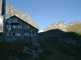 Scheibler (right), Darmstädter Hütte in front | |
| Highest point | |
| Elevation | 2,978 m (9,770 ft) |
| Prominence | 188 m (617 ft)[1][2] |
| Parent peak | Kuchenspitze |
| Isolation | 0.8 mi (1.3 km) |
| Coordinates | 47°03′31″N 10°13′19″E / 47.05861°N 10.22194°E |
| Geography | |
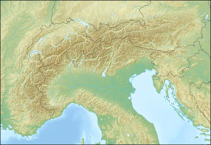 Scheibler Scheibler in the Alps | |
| Location | Tyrol, Austria |
| Parent range | Verwall Alps |
| Climbing | |
| Normal route | via Kuchenjöchli |
Scheibler is a 2,978 m (AA) high mountain in the Verwall Alps in the Austrian state Tyrol.
 View from summit to the direction of Darmstädter Hütte
 View from summit
There are directs ascents from two alpine club huts:
- From Darmstädter Hütte (2384 m, east of Scheibler) in two hours.[3]
- From Konstanzer Hütte (1688 m, north-west of Scheibler) in three hours.[4]
Both ascents meet at Kuchenjöchli, the 2,730-metre-high (8,960 ft) col between Scheibler and Kuchenspitze.[5]
References
- ↑ Clem Clements, Jonathan de Ferranti, Eberhard Jurgalski, Mark Trengove: The 2500 m SUMMITS of AUSTRIA – 443 peaks of between 2500 m and 2999 m with at least 150 m of prominence, October 2011, accessed 2015-02-21.
- ↑ AMAP: Österreichische Karte 1:50.000 (ÖK 50).
- ↑ Deutscher Alpenverein: Darmstädter Hütte, 2384 m, accessed 2015-02-21.
- ↑ Deutscher Alpenverein: Konstanzer Hütte, 1688 m, accessed 2015-02-21.
- ↑ AMAP: Austrian Map 1:50.000
This article is issued from Wikipedia. The text is licensed under Creative Commons - Attribution - Sharealike. Additional terms may apply for the media files.