Schopsdorf | |
|---|---|
 Coat of arms | |
Location of Schopsdorf | |
 Schopsdorf 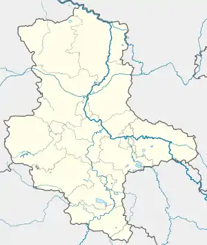 Schopsdorf | |
| Coordinates: 52°14′N 12°13′E / 52.233°N 12.217°E | |
| Country | Germany |
| State | Saxony-Anhalt |
| District | Jerichower Land |
| Town | Genthin |
| Subdivisions | 2 |
| Area | |
| • Total | 6.55 km2 (2.53 sq mi) |
| Elevation | 63 m (207 ft) |
| Population (2010-12-31) | |
| • Total | 263 |
| • Density | 40/km2 (100/sq mi) |
| Time zone | UTC+01:00 (CET) |
| • Summer (DST) | UTC+02:00 (CEST) |
| Postal codes | 39291 |
| Dialling codes | 039225 |
| Vehicle registration | JL |
Schopsdorf is a former municipality in the Jerichower Land district, in Saxony-Anhalt, Germany. It is part of the Verwaltungsgemeinschaft Möckern-Loburg-Fläming. A hammed merger with the town Möckern was repealed by the administrative court in Dessau in August 2011.[1] Since 1 July 2012, it is part of the town Genthin.
References
This article is issued from Wikipedia. The text is licensed under Creative Commons - Attribution - Sharealike. Additional terms may apply for the media files.