| Schroeder Western Australia | |
|---|---|
 Schroeder | |
| Coordinates | 34°0′57″S 115°21′38″E / 34.01583°S 115.36056°E |
| Population | 0 (SAL 2016)[1][2] |
| Postcode(s) | 6285 |
| Area | 531.7 km2 (205.3 sq mi) |
| LGA(s) | |
| State electorate(s) | VasseWarren-Blackwood |
| Federal division(s) | ForrestO'Connor |
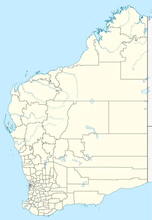
Schroeder is a small townsite located in the South West region of Western Australia in the Shire of Augusta-Margaret River and Shire of Nannup.[3][4]
References
- ↑ Australian Bureau of Statistics (27 June 2017). "Schroeder (suburb and locality)". Australian Census 2016.
- ↑ Australian Bureau of Statistics (27 June 2017). "Schroeder (suburb and locality)". Australian Census 2016 QuickStats. Retrieved 28 June 2022.
- ↑ "SLIP Map". maps.slip.wa.gov.au. Landgate. Retrieved 13 August 2023.
- ↑ "NationalMap". nationalmap.gov.au. Geoscience Australia. Retrieved 13 August 2023.
This article is issued from Wikipedia. The text is licensed under Creative Commons - Attribution - Sharealike. Additional terms may apply for the media files.