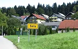
Sela pri Dolenjskih Toplicah | |
|---|---|
 | |
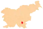
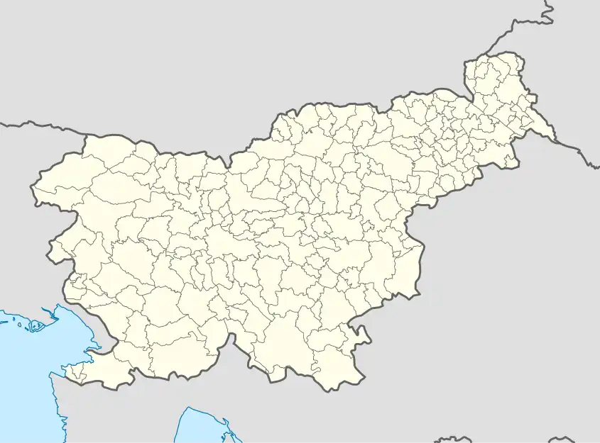 Sela pri Dolenjskih Toplicah Location in Slovenia | |
| Coordinates: 45°44′57.5″N 15°2′41.43″E / 45.749306°N 15.0448417°E | |
| Country | |
| Traditional region | Lower Carniola |
| Statistical region | Southeast Slovenia |
| Municipality | Dolenjske Toplice |
| Area | |
| • Total | 1.09 km2 (0.42 sq mi) |
| Elevation | 182 m (597 ft) |
| Population (2020) | |
| • Total | 271 |
| • Density | 250/km2 (640/sq mi) |
| [1] | |
Sela pri Dolenjskih Toplicah (pronounced [ˈseːla pɾi dɔˈleːnskix tɔˈpliːtsax]) is a village southwest of Dolenjske Toplice in the historical region of Lower Carniola in Slovenia. The Municipality of Dolenjske Toplice is included in the Southeast Slovenia Statistical Region.[2]
Name
The name of the settlement was changed from Sela to Sela pri Dolenjskih Toplicah in 1953.[3]
References
- ↑ Statistical Office of the Republic of Slovenia
- ↑ Dolenjske Toplice municipal site
- ↑ Spremembe naselij 1948–95. 1996. Database. Ljubljana: Geografski inštitut ZRC SAZU, DZS.
External links
| Settlements | Administrative seat: Dolenjske Toplice
|  |
|---|---|---|
| Landmarks |
| |
This article is issued from Wikipedia. The text is licensed under Creative Commons - Attribution - Sharealike. Additional terms may apply for the media files.