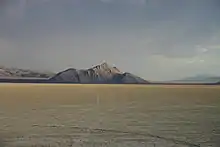
| Sentinel Hills | |
|---|---|
| Highest point | |
| Elevation | 1,566 m (5,138 ft) |
| Geography | |
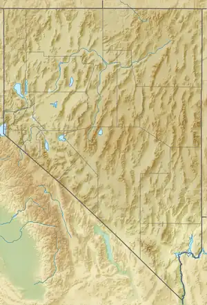
| Country | United States |
| State | Nevada |
| District | Humboldt County |
| Range coordinates | 41°49′23.616″N 117°51′47.523″W / 41.82322667°N 117.86320083°W |
| Topo map | USGS Hoppin Peaks |
The Sentinel Hills are a mountain range in Humboldt County, Nevada.[1]
References
- 1 2 "Sentinel Hills". Geographic Names Information System. United States Geological Survey, United States Department of the Interior. Retrieved 2009-05-04.
This article is issued from Wikipedia. The text is licensed under Creative Commons - Attribution - Sharealike. Additional terms may apply for the media files.