Shahbajpur Union
শাহবাজপুর ইউনিয়ন | |
|---|---|
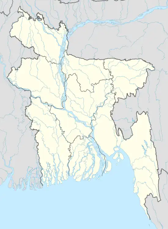 Shahbajpur Union Location in Bangladesh | |
| Coordinates: 24°48.1′N 88°7.8′E / 24.8017°N 88.1300°E | |
| Country | |
| Division | Rajshahi Division |
| District | Nawabganj District |
| Area | |
| • Total | 38.1 km2 (14.70 sq mi) |
| Population (2011) | |
| • Total | 48,518 |
| • Density | 1,300/km2 (3,300/sq mi) |
| Time zone | UTC+6 (BST) |
| Website | Official Map of Shahbajpur Union |
Shahbajpur (Bengali: শাহবাজপুর ইউনিয়ন) is a union parishad under Shibganj Upazila, Chapai Nawabganj District in the Rajshahi Division of north-western Bangladesh.[1][2]
Geography
Shahbajpur Union is located at 24°48′05″N 88°07′49″E / 24.8013°N 88.1303°E. It has 20,871 households and a total area 38.1 km2.
Demographics
According to the 2011 Bangladesh census, Shahbajpur Union had a population of 48,518. This comprised 20,227 males and 28,291 females, with males constituting 46.65% of the population, and females 53.35%. Nabinagar has an average literacy rate of 43.60%, comprising 42.80% among males and 44.30% among females.[3]
See also
References
- ↑ "Shahabajpur Union". Bangladesh National Portal.
- ↑ Mazharul Islam Taru (2012). "Nawabganj District". In Sirajul Islam and Ahmed A. Jamal (ed.). Banglapedia: National Encyclopedia of Bangladesh (Second ed.). Asiatic Society of Bangladesh.
- ↑ "Population Census Wing, BBS". Archived from the original on 2005-03-27. Retrieved November 10, 2011.
External links
Headquarters: Rajshahi | ||
| Bogra District | 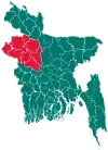 | |
| Joypurhat District | ||
| Naogaon District | ||
| Natore District | ||
| Nawabganj District | ||
| Pabna District | ||
| Rajshahi District | ||
| Sirajganj District | ||
This article is issued from Wikipedia. The text is licensed under Creative Commons - Attribution - Sharealike. Additional terms may apply for the media files.