Sherwin, Kansas | |
|---|---|
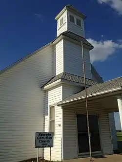 Sherwin Christian Church | |
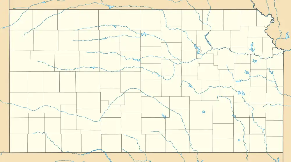
 KDOT map of Cherokee County (legend) | |
 Sherwin  Sherwin | |
| Coordinates: 37°10′48″N 94°56′52″W / 37.18000°N 94.94778°W[1] | |
| Country | United States |
| State | Kansas |
| County | Cherokee |
| Elevation | 860 ft (260 m) |
| Time zone | UTC-6 (CST) |
| • Summer (DST) | UTC-5 (CDT) |
| Area code | 620 |
| FIPS code | 20-65200 |
| GNIS ID | 484447[1] |
Sherwin is an unincorporated community in Cherokee County, Kansas, United States.[1]
History
Sherwin had a post office from 1886 until 1953. The post office was also called Sherwin City and Sherwin Junction for some time.[2]
References
- 1 2 3 4 U.S. Geological Survey Geographic Names Information System: Sherwin, Kansas
- ↑ "Kansas Post Offices, 1828-1961, page 2". Kansas Historical Society. Retrieved June 6, 2014.
Further reading
External links
Municipalities and communities of Cherokee County, Kansas, United States | ||
|---|---|---|
| Cities | 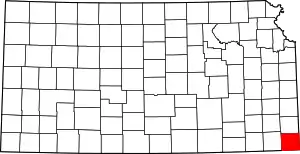 Map of Kansas highlighting Cherokee County | |
| Unincorporated communities | ||
| Ghost towns | ||
| Townships | ||
| Footnotes | †This community is designated a Census-Designated Place (CDP) by the United States Census Bureau. ‡This community also has portions in an adjacent county or counties. | |
This article is issued from Wikipedia. The text is licensed under Creative Commons - Attribution - Sharealike. Additional terms may apply for the media files.