Sheshegwaning 20 | |
|---|---|
| Sheshegwaning Indian Reserve No. 20 | |
 | |
 Sheshegwaning 20 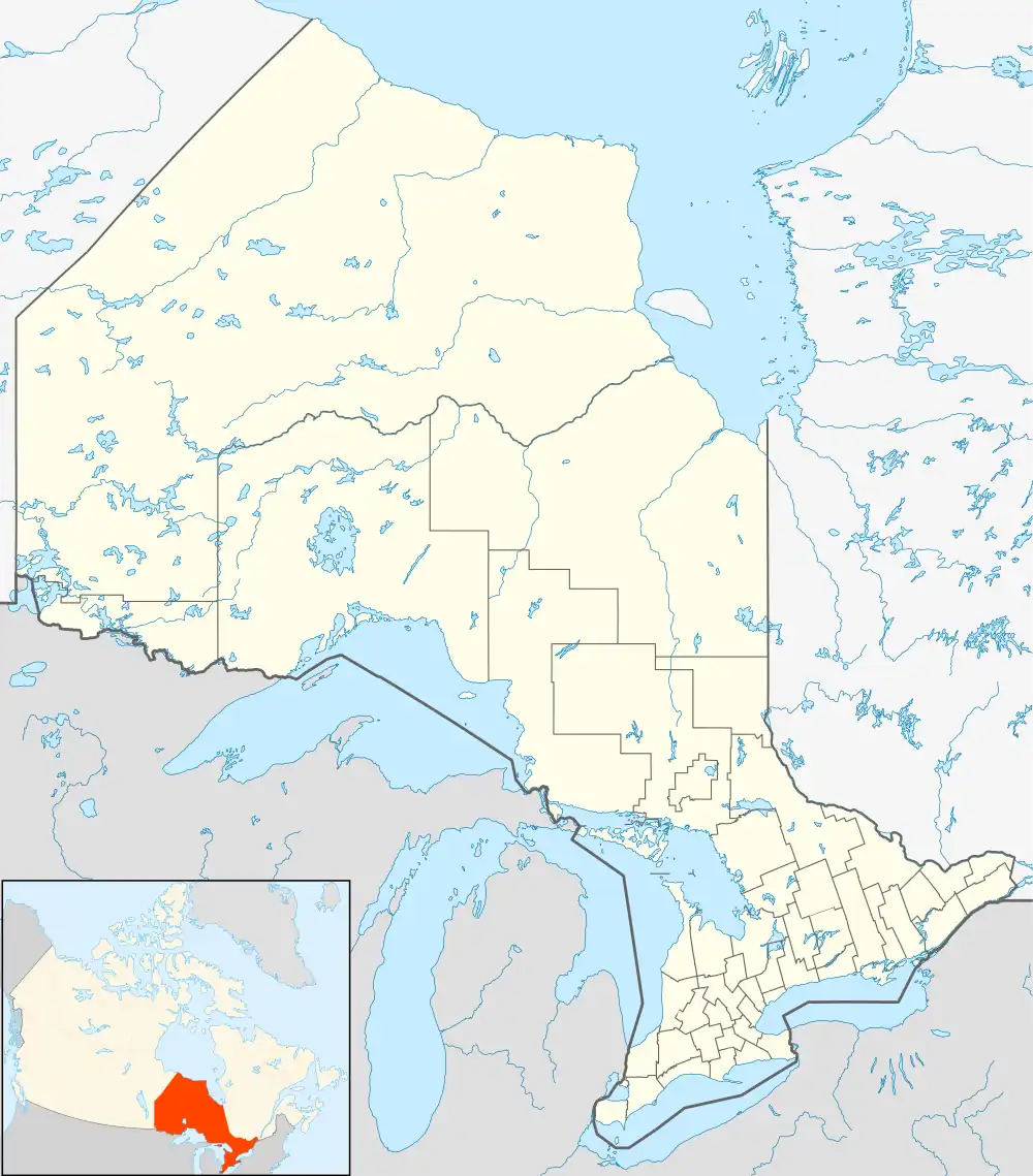 Sheshegwaning 20 | |
| Coordinates: 45°56′N 82°51′W / 45.933°N 82.850°W | |
| Country | Canada |
| Province | Ontario |
| District | Manitoulin |
| First Nation | Sheshegwaning |
| Area | |
| • Land | 20.28 km2 (7.83 sq mi) |
| Population (2011)[1] | |
| • Total | 118 |
| • Density | 5.8/km2 (15/sq mi) |
| Website | www.sheshegwaning.org/default.asp |
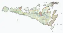
Sheshegwaning First Nation is an Odawa First Nation on Manitoulin Island in Ontario, Canada. Its land base is located on the Sheshegwaning 20 reserve.

Sheshegwaning administration building
References
- 1 2 "Sheshegwaning 20 census profile". 2011 Census of Population. Statistics Canada. 8 February 2012. Retrieved 22 June 2015.
Places adjacent to Sheshegwaning First Nation | |
|---|---|
This article is issued from Wikipedia. The text is licensed under Creative Commons - Attribution - Sharealike. Additional terms may apply for the media files.