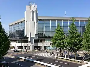
Shinanomachi
信濃町 | |
|---|---|
District | |
 | |
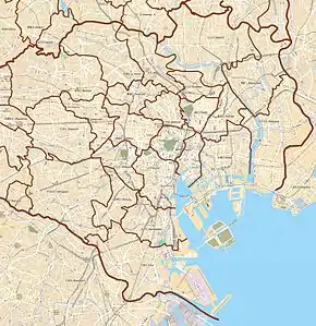 Shinanomachi Location of Shinanomachi within Tokyo | |
| Coordinates: 35°40′49.86″N 139°43′9.69″E / 35.6805167°N 139.7193583°E | |
| Country | Japan |
| Region | Kantō |
| Prefecture | Tokyo |
| Ward | Shinjuku |
| Population (December 1, 2019)[1] | |
| • Total | 996 |
| Time zone | UTC+9 (JST) |
| Zip code | 160-0016[2] |
| Area code | 03 |
Shinanomachi (信濃町, Shinanomachi) is a district of Shinjuku, Tokyo, Japan. It is a single town name that does not have a "chome". Thus, no residential addressing system has been implemented and the postal code is 160-0016.
Demographics
The number of households and population of each chōme as of December 1, 2019 are as follows:[1]
| Chome | Number of households | population |
|---|---|---|
| Shinanomachi | 637 households | 996 people |
Education
The Shinjuku City Board of Education operates public elementary and junior high schools. Shinanomachi is zoned to Yotsuya No. 6 (Dairoku) Elementary School (四谷第六小学校) and Yotsuya Junior High School (四谷中学校).[3]
References
- 1 2 "住民基本台帳人口 町丁別世帯数及び男女別人口". 新宿区. 2019-12-01. Retrieved 2019-12-02.
- ↑ "郵便番号". 日本郵便. Retrieved 2017-12-22.
- ↑ "町名別学区域一覧表". Shinjuku City. Retrieved 2022-10-08.
External links
| Districts |
|  | ||||||
|---|---|---|---|---|---|---|---|---|
| Education |
| |||||||
| Major stations |
| |||||||
| Landmarks | ||||||||
* - partially | ||||||||
This article is issued from Wikipedia. The text is licensed under Creative Commons - Attribution - Sharealike. Additional terms may apply for the media files.