Shrigonda | |
|---|---|
city | |
 Shrigonda Location in Maharashtra, India 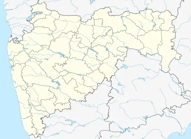 Shrigonda Shrigonda (Maharashtra) | |
| Coordinates: 18°36′58″N 74°41′53″E / 18.616°N 74.698°E | |
| Country | |
| State | Maharashtra |
| District | Ahmednagar |
| Government | |
| • Body | Municipal Council |
| Elevation | 561 m (1,841 ft) |
| Population (2011) | |
| • Total | 31,134 |
| Languages | |
| • Official | Marathi |
| Time zone | UTC+5:30 (IST) |
| PIN | 413701 |
| Telephone code | 912487 |
| Vehicle registration | MH-16 |
Shrigonda is a municipal council in Ahmednagar district in the Indian state of Maharashtra. Shrigonda is located at 18°36′58″N 74°41′53″E / 18.616°N 74.698°E. It has an average elevation of 561 metres (1840 feet). As of the 2001 Indian census, Shrigonda had a population of 26,331. Males constitute 52% of the population and females 48%. Shrigonda has an average literacy rate of 71%, higher than the national average of 59.5%: male literacy is 77%, and female literacy is 64%. In Shrigonda, 12% of the population is under 6 years of age.[1]
See also
References
- ↑ "Census of India 2001: Data from the 2001 Census, including cities, villages and towns (Provisional)". Census Commission of India. Archived from the original on 16 June 2004. Retrieved 1 November 2008.
Ahmednagar district topics | ||
|---|---|---|
| History | .svg.png.webp) | |
| Geography | ||
| Talukas | ||
| Cities and towns | ||
| Monuments | ||
| Education | ||
| Lok Sabha constituencies | ||
| Vidhan Sabha constituencies | ||
| Dams in District | ||
This article is issued from Wikipedia. The text is licensed under Creative Commons - Attribution - Sharealike. Additional terms may apply for the media files.