| Siagne | |
|---|---|
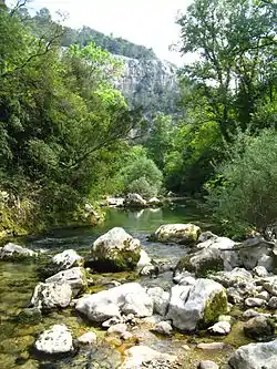 Gorges of the Siagne | |
  | |
| Native name | La Siagne (French) |
| Location | |
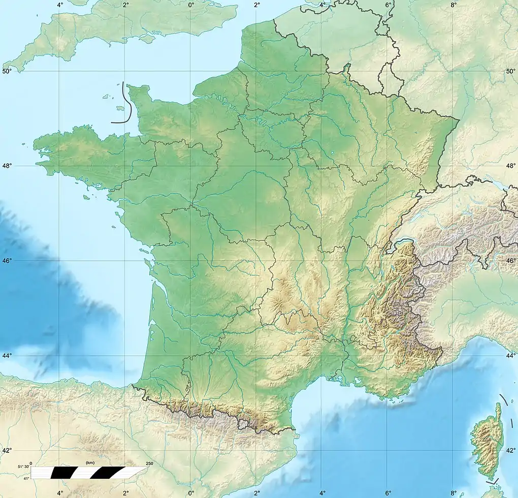
| Country | France |
| Physical characteristics | |
| Source | |
| • location | near Escragnolles |
| • elevation | 640 m (2,100 ft) |
| Mouth | |
• location | Mediterranean Sea |
• coordinates | 43°31′52″N 6°56′54″E / 43.531°N 6.9482°E |
| Length | 44 km (27 mi) |
| Basin size | 512 km2 (198 sq mi) |
| Discharge | |
| • average | Mediterranean Sea |
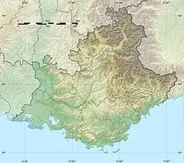
The Siagne (French pronunciation: [sjaɲ]; Occitan: Sianha) is a river that flows through the Var and Alpes-Maritimes departments of southeast France. It is 44.5 km (27.7 mi) long.[1] For much of its length, it forms the border between the two departments. Its drainage basin is 512 km2 (198 sq mi).[2] Its source is near Escragnolles, flowing southeast, through Saint-Cézaire-sur-Siagne and Pégomas, and into the Mediterranean Sea in Mandelieu-la-Napoule, 5 kilometres (3 mi) west of Cannes.
References
- ↑ Sandre. "Fiche cours d'eau - La Siagne (Y55-0400)".
- ↑ Bassin versant : Siagne (La), Observatoire Régional Eau et Milieux Aquatiques en PACA
This article is issued from Wikipedia. The text is licensed under Creative Commons - Attribution - Sharealike. Additional terms may apply for the media files.