Sibiti Airport | |||||||||||
|---|---|---|---|---|---|---|---|---|---|---|---|
| Summary | |||||||||||
| Airport type | Public | ||||||||||
| Serves | Sibiti, Republic of the Congo | ||||||||||
| Elevation AMSL | 1,883 ft / 574 m | ||||||||||
| Coordinates | 3°41′12″S 13°22′20″E / 3.68667°S 13.37222°E | ||||||||||
| Map | |||||||||||
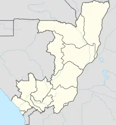  SIB Location of airport in the Republic of the Congo | |||||||||||
| Runways | |||||||||||
| |||||||||||
Sibiti Airport (IATA: SIB, ICAO: FCBS) is an airport serving the city of Sibiti, Republic of the Congo. The airport is just east of the city. It replaces the former airstrip 10 kilometres (6.2 mi) southeast of town.[3]
The runway has an additional 90 metres (300 ft) of paved overrun on each end.
See also


References
- ↑ Airport information for Sibiti Airport at Great Circle Mapper.
- ↑ Google Maps - Sibiti
- ↑ "Google Maps". Google Maps. Retrieved 2018-08-20.
External links
This article is issued from Wikipedia. The text is licensed under Creative Commons - Attribution - Sharealike. Additional terms may apply for the media files.