Siguiri Airport | |||||||||||
|---|---|---|---|---|---|---|---|---|---|---|---|
| Summary | |||||||||||
| Airport type | Public | ||||||||||
| Owner/Operator | ANAC Guinea | ||||||||||
| Serves | Siguiri, Guinea | ||||||||||
| Elevation AMSL | 1,296 ft / 395 m | ||||||||||
| Coordinates | 11°24′00″N 9°11′15″W / 11.40000°N 9.18750°W | ||||||||||
| Map | |||||||||||
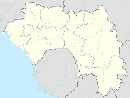 GUSI Location of the airport in Guinea | |||||||||||
| Runways | |||||||||||
| |||||||||||
Siguiri Airport (IATA: GII, ICAO: GUSI) is an airport serving Siguiri, a river port in western Guinea. The airport is south of the town and 2 kilometres (1.2 mi) west of the Niger River.
See also
References
- ↑ Google Map - Siguiri
- ↑ Airport information for Siguiri Airport at Great Circle Mapper.
External links
- OpenStreetMap - Siguiri
- OurAirports - Guinea
- Siguiri - FallingRain
- Accident history for Siguiri Airport at Aviation Safety Network
- Google Earth
This article is issued from Wikipedia. The text is licensed under Creative Commons - Attribution - Sharealike. Additional terms may apply for the media files.