Native name: Sállan | |
|---|---|
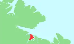 Location off the Varangerfjord | |
 Skogerøya 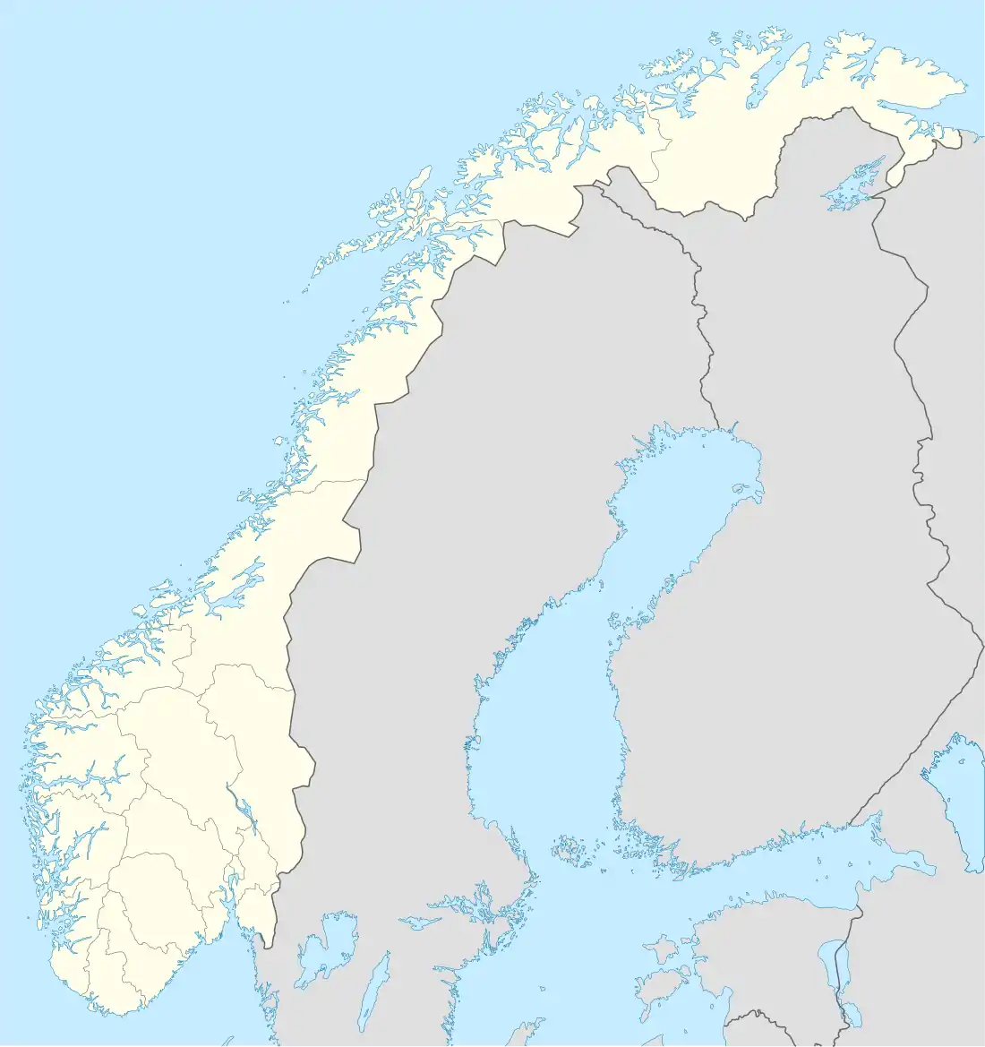 Skogerøya | |
| Geography | |
| Location | Troms og Finnmark, Norway |
| Coordinates | 69°53′23″N 29°50′41″E / 69.8898°N 29.8447°E |
| Area | 129 km2 (50 sq mi) |
| Length | 18.5 km (11.5 mi) |
| Width | 12 km (7.5 mi) |
| Highest elevation | 445 m (1460 ft) |
| Highest point | Skogerøytoppen |
| Administration | |
Norway | |
| County | Troms og Finnmark |
| Municipality | Sør-Varanger |
| Demographics | |
| Population | 0 |
| Pop. density | 0/km2 (0/sq mi) |
Skogerøya (Northern Sami: Sállan) is an uninhabited island in Sør-Varanger municipality in Troms og Finnmark county, Norway. The 129-square-kilometre (50 sq mi) partially forested island lies south of Varangerfjorden, west of Bøkfjorden, north of Korsfjorden, and east of Kjøfjorden. The highest point on the island is the 445-metre (1,460 ft) tall Skogerøytoppen. The island lies about 10 kilometres (6.2 mi) northwest of the town of Kirkenes. It is used as a summer and autumn grazing area for reindeer.[1]
See also
References
- ↑ Store norske leksikon. "Skogerøya" (in Norwegian). Retrieved 2013-03-10.
This article is issued from Wikipedia. The text is licensed under Creative Commons - Attribution - Sharealike. Additional terms may apply for the media files.