| Sky Pilot Creek | |
|---|---|
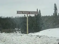 Road sign for Sky Pilot Creek | |
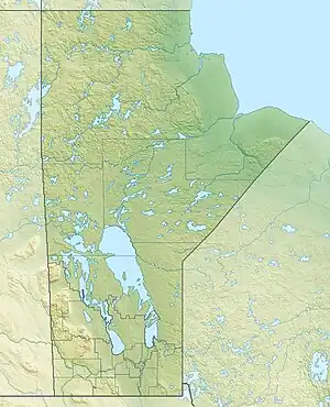 Location of the mouth of Sky Pilot Creek in Manitoba | |
| Location | |
| Country | Canada |
| Province | Manitoba |
| Region | Northern |
| Physical characteristics | |
| Source | Sky Pilot Lake |
| • coordinates | 56°30′24″N 94°50′41″W / 56.50667°N 94.84472°W |
| • elevation | 144 m (472 ft) |
| Mouth | Nelson River |
• coordinates | 56°24′28″N 94°21′46″W / 56.40778°N 94.36278°W |
• elevation | 90 m (300 ft) |
| Basin features | |
| River system | Hudson Bay drainage basin |
Sky Pilot Creek is a river in the Hudson Bay drainage basin in Northern Manitoba, Canada.[1] It flows from Sky Pilot Lake to the Nelson River, which it enters as a left tributary immediately downstream of the Long Spruce Generating Station and dam. It passes twice under Manitoba Provincial Road 280: once near its source, and once just before its mouth.
See also
References
- ↑ "Sky Pilot Creek". Geographical Names Data Base. Natural Resources Canada. Retrieved 2012-07-02.
This article is issued from Wikipedia. The text is licensed under Creative Commons - Attribution - Sharealike. Additional terms may apply for the media files.