Slavonski Šamac | |
|---|---|
| Općina Slavonski Šamac Municipality of Slavonski Šamac | |
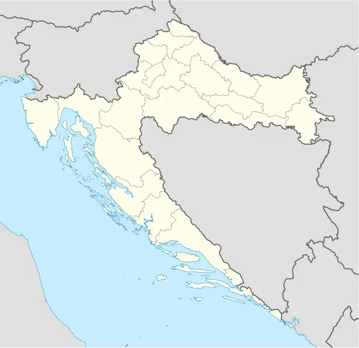 Slavonski Šamac Location of Slavonski Šamac in Croatia | |
| Coordinates: 45°07′25″N 18°28′16″E / 45.12361°N 18.47111°E | |
| Country | |
| County | |
| Government | |
| • Municipal mayor | Branislav Milinović (HDZ) |
| Area | |
| • Municipality | 22.5 km2 (8.7 sq mi) |
| • Urban | 8.5 km2 (3.3 sq mi) |
| Population (2021)[2] | |
| • Municipality | 1,576 |
| • Density | 70/km2 (180/sq mi) |
| • Urban | 768 |
| • Urban density | 90/km2 (230/sq mi) |
| Time zone | UTC+1 (CET) |
| • Summer (DST) | UTC+2 (CEST) |
| Postal code | 35220 |
| Area code | 035 |
| Vehicle registration | SB |
| Website | slavonski-samac |
Slavonski Šamac is a village and municipality located on the river Sava in Croatia. It is located in Brod-Posavina county in the region of Slavonia. On the opposite side of the river lies the Bosnian town of Šamac. Slavonski Šamac is located on the D7 road, a part of the European route E73.
Demographics
According to the 2011 census, the municipality had a population of 2,169 with 996 in the settlement of Slavonski Šamac itself.[3]
The municipality consists of two settlements:
- Kruševica, population 1,173
- Slavonski Šamac, population 996
References
- ↑ Register of spatial units of the State Geodetic Administration of the Republic of Croatia. Wikidata Q119585703.
- ↑ "Population by Age and Sex, by Settlements, 2021 Census". Census of Population, Households and Dwellings in 2021. Zagreb: Croatian Bureau of Statistics. 2022.
- ↑ "Population by Age and Sex, by Settlements, 2011 Census: Slavonski Šamac". Croatian Bureau of Statistics. Retrieved 12 April 2020.
Subdivisions of Brod-Posavina County | ||
|---|---|---|
| Cities and towns |
|  Coat of arms of Brod-Posavina County |
| Municipalities | ||
This article is issued from Wikipedia. The text is licensed under Creative Commons - Attribution - Sharealike. Additional terms may apply for the media files.