Smile
Сміле | |
|---|---|
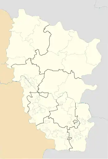 Smile Location of Smile within Ukraine 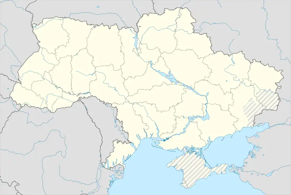 Smile Smile (Ukraine) | |
| Coordinates: 48°40′38″N 38°55′00″E / 48.677222°N 38.916667°E | |
| Country | |
| Province | |
| District | Alchevsk Raion |
| Founded | 1756 |
| Area | |
| • Total | 1.327 km2 (0.512 sq mi) |
| Elevation | 108 m (354 ft) |
| Population | |
| • Total | 1,031 |
| • Density | 780/km2 (2,000/sq mi) |
| Time zone | UTC+2 (EET) |
| • Summer (DST) | UTC+3 (EEST) |
| Postal code | 93704 |
| Area code | +380 6473 |
Smile (Ukrainian: Сміле; Russian: Смелое) is a village in Alchevsk Raion (district) in Luhansk Oblast of eastern Ukraine, at about 30 km WNW from the centre of Luhansk.
The settlement was taken under control of pro-Russian forces during the War in Donbass, that started in 2014.[1] The village stayed under pro-Russian control and is currently situated close to the front line with the Armed Forces of Ukraine.[2]
References
- ↑ "Кабмин назвал города Донбасса, подконтрольные сепаратистам". korrespondent.net. Retrieved 9 October 2015.
- ↑ (in Ukrainian) Militants' shells hit a five-story building in Luhansk region, Ukrayinska Pravda (9 September 2021)
This article is issued from Wikipedia. The text is licensed under Creative Commons - Attribution - Sharealike. Additional terms may apply for the media files.