Som | |
|---|---|
Village | |
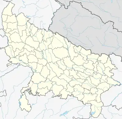 Som Location in Uttar Pradesh, India 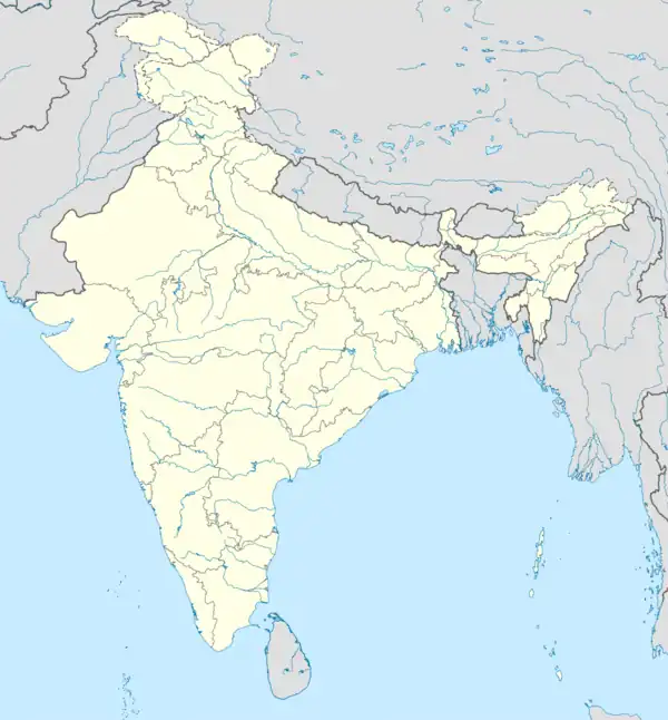 Som Som (India) | |
| Coordinates: 27°04′N 80°31′E / 27.06°N 80.52°E | |
| Country | |
| State | Uttar Pradesh |
| District | Hardoi |
| Block | Sandila |
| Area | |
| • Total | 5.284 km2 (2.040 sq mi) |
| Population (2011)[1] | |
| • Total | 5,040 |
| • Density | 950/km2 (2,500/sq mi) |
| Languages | |
| • Official | Hindi |
| Time zone | UTC+5:30 (IST) |
| Vehicle registration | UP |
| Website | up |
Som is a village in Sandila block of Hardoi district, Uttar Pradesh, India.[1] It was previously counted as a census town, but the 2011 census reclassified it as a village.[1] It is connected to state highways and has 3 primary schools and 0 healthcare facilities.[1] As of 2011, its population is 5,040, in 1,135 households.[1]
References
This article is issued from Wikipedia. The text is licensed under Creative Commons - Attribution - Sharealike. Additional terms may apply for the media files.