Sombrero Butte, Arizona | |
|---|---|
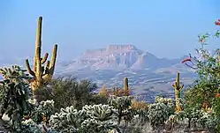 A view of Sombrero Butte from Redington Rd SE of San Manuel, Arizona. | |
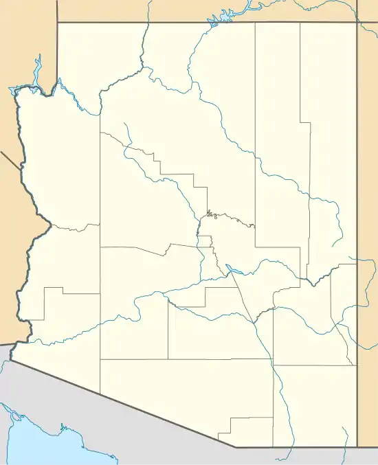 Sombrero Butte Location within the state of Arizona  Sombrero Butte Sombrero Butte (the United States) | |
| Coordinates: 32°43′34″N 110°28′56″W / 32.72611°N 110.48222°W | |
| Country | United States |
| State | Arizona |
| County | Pinal |
| Elevation | 4,071 ft (1,241 m) |
| Time zone | UTC-7 (Mountain (MST)) |
| • Summer (DST) | UTC-7 (MST) |
| Area code | 520 |
| FIPS code | 04-68045 |
| GNIS feature ID | 24622 |
Sombrero Butte is a populated place situated in Pinal County, Arizona, United States.[2] The location takes its name from a nearby butte of the same name,[1] so called because of its resemblance to a huge sombrero.[3] It has an estimated elevation of 4,071 feet (1,241 m) above sea level.[1]
References
- 1 2 3 "Feature Detail Report for: Sombrero Butte". Geographic Names Information System. United States Geological Survey, United States Department of the Interior.
- ↑ "Sombrero Butte (in Pinal County, AZ) Populated Place Profile". AZ Hometown Locator. Retrieved April 7, 2017.
- ↑ Barnes, Will Croft (2016). Arizona Place Names. Tucson: University of Arizona Press. p. 415. ISBN 978-0816534951.
Municipalities and communities of Pinal County, Arizona, United States | ||
|---|---|---|
| Cities | 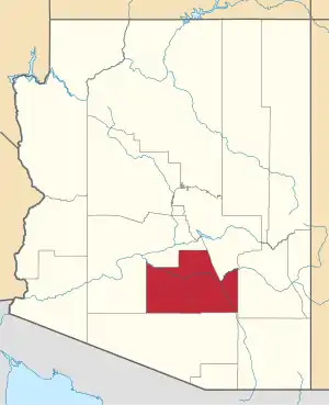 | |
| Towns | ||
| CDPs |
| |
| Populated places | ||
| Indian reservations | ||
| Ghost towns | ||
| Footnotes | ‡This populated place also has portions in an adjacent county or counties | |
This article is issued from Wikipedia. The text is licensed under Creative Commons - Attribution - Sharealike. Additional terms may apply for the media files.