Southern Ports Highway | |
|---|---|
 North end South end | |
| Coordinates | |
| General information | |
| Type | Highway |
| Length | 118 km (73 mi)[1] |
| Route number(s) | |
| Former route number | |
| Major junctions | |
| North end | Kingston SE, South Australia |
| South end | Millicent, South Australia |
| Location(s) | |
| Region | Limestone Coast[2] |
| Major settlements | Mount Benson, Robe, Beachport, Rendelsham |
| Highway system | |
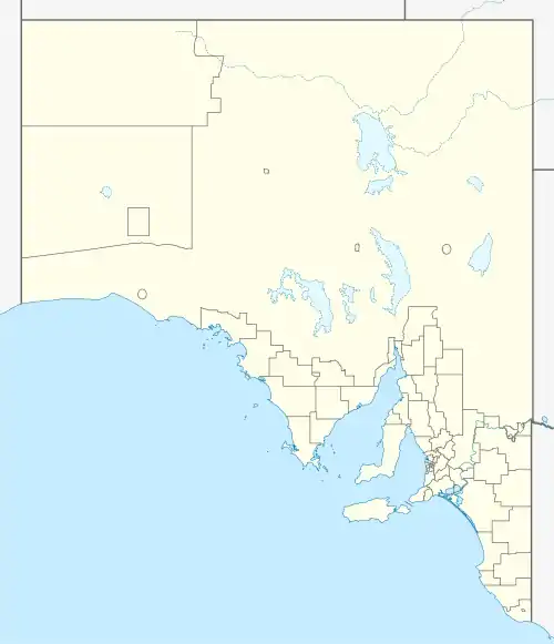
Southern Ports Highway is a 119 kilometres (74 miles) rural highway in South Australia that connects Kingston SE with Millicent via Rendelsham, Southend, Beachport and Robe.[3] It is a former alignment of Princes Highway, bypassed in 1933.
Major intersections
| LGA[4] | Location[1][3] | km[1] | mi | Destinations | Notes |
|---|---|---|---|---|---|
| Kingston | Kingston SE | 0.0 | 0.0 | Northern terminus of highway and route B101 | |
| Robe | Robe | 41.2 | 25.6 | Main Road – Robe | |
| Bray | 56.8 | 35.3 | Clay Wells Road – Penola | ||
| Wattle Range | Beachport | 86.9 | 54.0 | Millicent-Beachport Road – Beachport | |
| Millicent | 118 | 73 | Mount Burr Road – Penola | Southern terminus of highway and route B101 | |
| |||||
See also
References
- 1 2 3 Google (16 June 2022). "Southern Ports Highway" (Map). Google Maps. Google. Retrieved 16 June 2022.
- ↑ "Location SA Map viewer with regional layers". Government of South Australia. Retrieved 16 June 2022.
- 1 2 "Location SA Map viewer with suburb layers". Government of South Australia. Retrieved 16 June 2022.
- ↑ "Location SA Map viewer with LGA layers". Government of South Australia. Retrieved 16 June 2022.
External links
Road infrastructure in South Australia | ||
|---|---|---|
| Expressways |
| |
| Interstate highways | ||
| State highways | ||
| Arterial roads |
| |
| Outback tracks | ||
This article is issued from Wikipedia. The text is licensed under Creative Commons - Attribution - Sharealike. Additional terms may apply for the media files.