Spierdijk | |
|---|---|
Village | |
 Farm in Spierdijk | |
 Spierdijk Location in the Netherlands 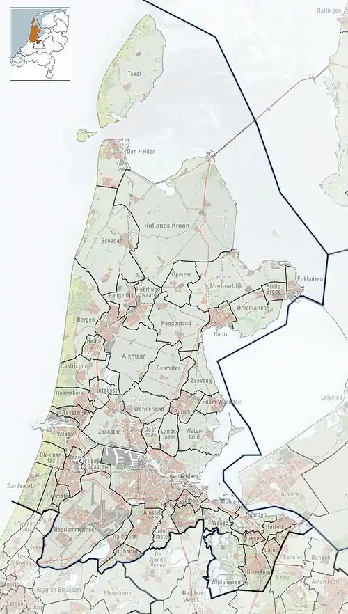 Spierdijk Location in the province of North Holland in the Netherlands | |
| Coordinates: 52°39′N 4°57′E / 52.650°N 4.950°E | |
| Country | Netherlands |
| Province | North Holland |
| Municipality | Koggenland |
| Area | |
| • Total | 4.51 km2 (1.74 sq mi) |
| Elevation | −1.8 m (−5.9 ft) |
| Population (2021)[1] | |
| • Total | 1,225 |
| • Density | 270/km2 (700/sq mi) |
| Time zone | UTC+1 (CET) |
| • Summer (DST) | UTC+2 (CEST) |
| Postal code | 1641[1] |
| Dialing code | 0229 |
Spierdijk is a village in the Dutch province of North Holland. It is a part of the municipality of Koggenland, and lies about 13 kilometres (8.1 mi) east of Alkmaar.[3]
The village was first mentioned in 1365 as Spierdijck, and is a combination a long reed stick and dike.[4] Spierdijk developed on the edge of the Wogmeer as a peat excavation village.[5]
The Catholic St Georgius Church is a three aisled cruciform church with needle spire which was built between 1849 and 1850.[5]
Gallery
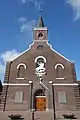 St Georgius Church
References
- 1 2 3 "Kerncijfers wijken en buurten 2021". Central Bureau of Statistics. Retrieved 30 April 2022.
two entries
- ↑ "Postcodetool for 1641LA". Actueel Hoogtebestand Nederland (in Dutch). Het Waterschapshuis. Retrieved 30 April 2022.
- ↑ "Distance Spierdijk, NLD -> Alkmaar, NLD". Distance.to (in Dutch). Retrieved 30 April 2022.
- ↑ "Spierdijk - (geografische naam)". Etymologiebank (in Dutch). Retrieved 30 April 2022.
- 1 2 Ronald Stenvert & Saskia van Ginkel-Meester (2006). "Spierdijk" (in Dutch). Zwolle: Waanders. Retrieved 30 April 2022.
This article is issued from Wikipedia. The text is licensed under Creative Commons - Attribution - Sharealike. Additional terms may apply for the media files.