| St. Malo Provincial Park[1] | |
|---|---|
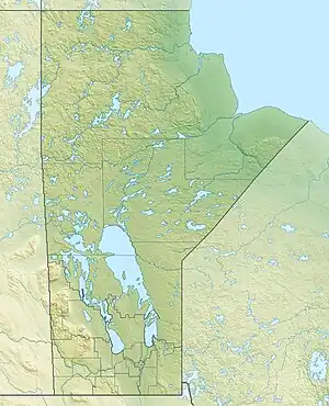  | |
| Location | Manitoba, Canada |
| Nearest city | St. Malo, Manitoba |
| Coordinates | 49°19′11″N 96°55′42″W / 49.31972°N 96.92833°W |
| Area | 148.35 ha (366.6 acres) |
| Established | 1961[1] |
| Governing body | Government of Manitoba[1] |
St. Malo Provincial Park is a provincial park on the Rat River near St. Malo, Manitoba, Canada.[2] It is 148.35 ha (0.5728 sq mi) in size.[1]
History
St. Malo Provincial Park was designated a provincial park by the Government of Manitoba in 1961.[1]
See also
References
- 1 2 3 4 5 "Park Planning and Research". www.gov.mb.ca. Province of Manitoba. Retrieved 19 July 2022.
- ↑ "St. Malo Provincial Park Management Plan" (PDF). Government of Manitoba. December 2012. Retrieved 19 July 2022.
External links
Further reading


This article is issued from Wikipedia. The text is licensed under Creative Commons - Attribution - Sharealike. Additional terms may apply for the media files.