| Staploe | |
|---|---|
 | |
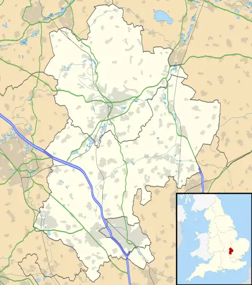 Staploe Location within Bedfordshire | |
| Population | 331 (2011 Census including Begwary & Honeydon)[1] |
| OS grid reference | TL140685 |
| Unitary authority | |
| Ceremonial county | |
| Region | |
| Country | England |
| Sovereign state | United Kingdom |
| Post town | ST NEOTS |
| Postcode district | PE19 |
| Dialling code | 01480 |
| Police | Bedfordshire |
| Fire | Bedfordshire and Luton |
| Ambulance | East of England |
| UK Parliament | |
Staploe is a village and civil parish located in the Borough of Bedford in Bedfordshire, England.
Staploe was originally a hamlet of Eaton Socon. Under the Local Government Act 1958, Eaton Socon was merged with the neighbouring town of St Neots in Cambridgeshire. Staploe was therefore created as a civil parish in 1965.
The parish of Staploe includes other former parts of Eaton Socon - Duloe, Honeydon, and Upper Staploe. Bushmead Priory and the hamlet of Bushmead are also in the parish.
References
- ↑ "Civil Parish population 2011". Neighbourhood Statistics. Office for National Statistics. Retrieved 5 November 2016.
External links
![]() Media related to Staploe at Wikimedia Commons
Media related to Staploe at Wikimedia Commons
This article is issued from Wikipedia. The text is licensed under Creative Commons - Attribution - Sharealike. Additional terms may apply for the media files.