| Starrucca Creek | |
|---|---|
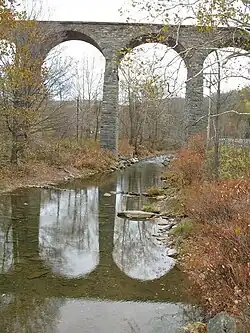 Starrucca Creek flowing under Starrucca Viaduct | |
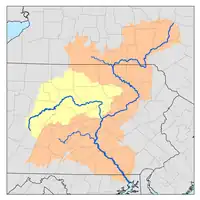
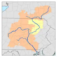
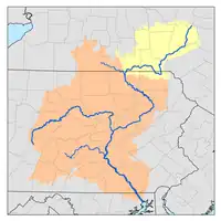
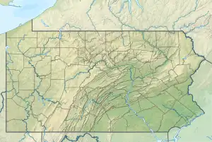 Location of the mouth of Starrucca Creek  Starrucca Creek (the United States) | |
| Location | |
| Country | United States |
| State | Pennsylvania |
| Physical characteristics | |
| Mouth | Susquehanna River |
• location | Near Lanesboro |
• coordinates | 41°55′41″N 75°31′00″W / 41.92809°N 75.51675°W |
| Length | 18.1 mi (29.1 km) |
| Basin features | |
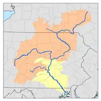
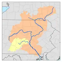
| Progression | Starrucca Creek → Susquehanna River → Chesapeake Bay → Atlantic Ocean |
Starrucca Creek is an 18.1-mile-long (29.1 km)[1] tributary of the Susquehanna River in Susquehanna and Wayne counties, Pennsylvania in the United States.[2] Shadigee Creek joins Starrucca Creek just downstream of Starrucca.[2] Soon after passing under the Starrucca Viaduct, Starrucca Creek joins the Susquehanna near the borough of Lanesboro.[2]
The former Stone Arch Bridge crossed Starrucca Creek at the borough of Starrucca.[3]
See also
References
- ↑ U.S. Geological Survey. National Hydrography Dataset high-resolution flowline data. The National Map, accessed August 8, 2011
- 1 2 3 Gertler, Edward. Keystone Canoeing, Seneca Press, 2004. ISBN 0-9749692-0-6
- ↑ "National Register Information System". National Register of Historic Places. National Park Service. July 9, 2010.

This article is issued from Wikipedia. The text is licensed under Creative Commons - Attribution - Sharealike. Additional terms may apply for the media files.