Subalaya
Sublia | |
|---|---|
Town | |
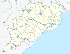 Subalaya Location in Odisha, India  Subalaya Subalaya (India) | |
| Coordinates: 20°53′N 84°10′E / 20.883°N 84.167°E | |
| Country | |
| State | Odisha |
| District | Subarnapur |
| Area | |
| • Total | 3.32950 km2 (1.28553 sq mi) |
| Languages | |
| • Official | Odia |
| Time zone | UTC+5:30 (IST) |
| Vehicle registration | OD-31 |
| Nearest city | Birmaharajpur, Rairakhol |
| Lok Sabha constituency | Balangir |
| Climate | Rainy, hot, cold (Köppen) |
| Avg. summer temperature | 45–50 °C (113–122 °F) |
| Avg. winter temperature | 20–25 °C (68–77 °F) |
| Website | odisha |
Subalaya is a town in the Birmaharajpur subdivision of Subarnapur district, Odisha, India. It is located on an island 822.738 acres (3.32950 km2) in size[1] at the confluence of the Mahanadi river and Surubalijora.[2]
This town is home to Subalaya High School and Subalaya College.
References
- ↑ Subalaya Land Area Chart (archive)
- ↑ "Archived copy". Archived from the original on 3 March 2016. Retrieved 18 August 2009.
{{cite web}}: CS1 maint: archived copy as title (link)
This article is issued from Wikipedia. The text is licensed under Creative Commons - Attribution - Sharealike. Additional terms may apply for the media files.