Tân Lập | |
|---|---|
 Trịnh Phong - Ngô Đức Kế Street intersection, Tân Lập ward | |
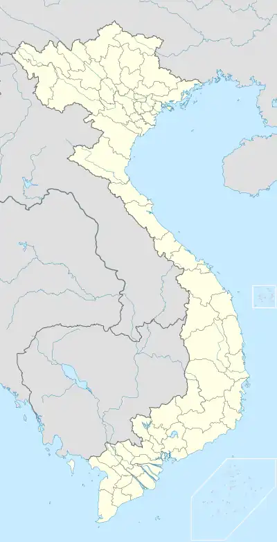 Tân Lập Location in Vietnam  Tân Lập Tân Lập (Southeast Asia)  Tân Lập Tân Lập (Asia) | |
| Coordinates: 12°14′24″N 109°11′27″E / 12.24000°N 109.19083°E | |
| Country | |
| Province | Khánh Hòa |
| City | Nha Trang |
| Region | Central Vietnam |
| Area | |
| • Total | 24 sq mi (062 km2) |
| Population (1999) | |
| • Total | 14.280 |
| • Density | 59.65/sq mi (23.032/km2) |
| Time zone | UTC+07:00 (Indochina Time) |
Tân Lập is a Ward in Nha Trang, Khánh Hòa Province, Vietnam. The local economy is mainly agricultural, with rice production and cattle breeding.
Geography
Tân Lập has a metropolitan area of 0.62 km2 (0.24 sq mi) and a population of about 14.280.[1]
References
- ↑ "BÁO CÁO TÌNH HÌNH THỰC HIỆN CÁC CHỈ TIÊU NHIỆM VỤ THÁNG 10 NĂM 2021 PHƯƠNG HƯỚNG NHIỆM VỤ THÁNG 11 NĂM 2021". UBND phường Tân Lập. 2021-10-18. Retrieved 2022-12-28.
Places adjacent to Tân Lập, Nha Trang | ||||||||||||||||
|---|---|---|---|---|---|---|---|---|---|---|---|---|---|---|---|---|
| ||||||||||||||||
Capital: Nha Trang | ||
| Nha Trang | Ward (19): Lộc Thọ · Ngọc Hiệp · Phước Hải · Phước Hòa · Phước Long · Phước Tân · Phước Tiến · Phương Sài · Phương Sơn · Tân Lập · Vạn Thắng · Vạn Thạnh · Vĩnh Hải · Vĩnh Hòa · Vĩnh Phước · Vĩnh Trường · Vĩnh Nguyên · Vĩnh Thọ · Xương Huân commune (8): Phước Đồng · Vĩnh Phương · Vĩnh Thạnh · Vĩnh Trung · Vĩnh Thái · Vĩnh Hiệp · Vĩnh Ngọc · Vĩnh Lương | 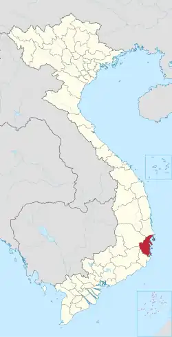 |
| Cam Ranh |
| |
| Ninh Hòa |
| |
| Cam Lâm District | Cam An Bắc · Cam An Nam · Cam Hải Đông · Cam Hải Tây · Cam Hiệp Bắc · Cam Hiệp Nam · Cam Hòa · Cam Phước Tây · Cam Tân · Cam Thành Bắc · Suối Tân · Sơn Tân · Suối Cát | |
| Diên Khánh District |
| |
| Khánh Sơn District |
| |
| Khánh Vĩnh District |
| |
| Trường Sa District |
| |
| Vạn Ninh District |
| |