Arghaun Chowk
ताल चोक | |
|---|---|
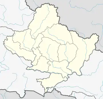 Arghaun Chowk Location in Nepal 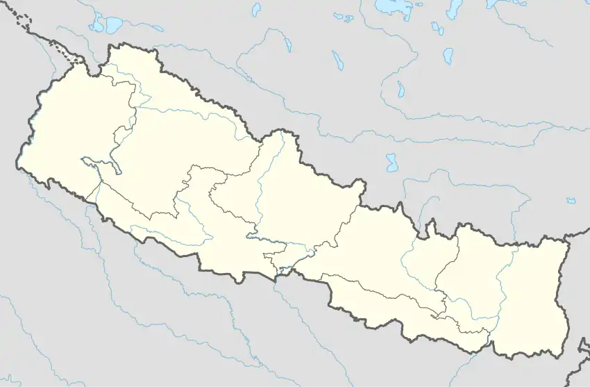 Arghaun Chowk Arghaun Chowk (Nepal) | |
| Coordinates: 28°09′49″N 84°03′28″E / 28.1635°N 84.0577°E | |
| Country | |
| Province | Gandaki |
| City | Pokhara |
| Time zone | +5:45 (Nepali Time) |
Arghaun Chowk (Nepali: ताल चोक) consists of a three-way junction road and its surrounding area, located in Ward Number 27 of Pokhara, Nepal.[1]
Boundaries of Tal Chowk
- East: Annapurna Chowk
- West: Rithepani
- North: Dadanaak
- South: Bhandadik
Office
- Ward No 27 office.
Educational Facilities
- Laxmi Adarsha School
- Diamond Secondary School
Banks
- Nabil Bank.
- NIC Asia Bank.
- Agricultural Development Bank.
- NCC Bank.
- Kailash Bank.
Health Care
- Shishuwa Hospital.
Communication
ISPs available in Tal Chowk include:
- Worldlink.
- Nepal Telecom.
- Vianet.
- Classic Tech.
Transportation
Privately run public transport systems operate throughout the city, adjoining townships and nearby villages. Public transport mainly consists of local and city buses, micro-buses, and metered-taxis.[2]
Public buses in the city follow a color/size coded system:
- Pokhara Mahanagar Bus (colors: green, brown and blue)
- Bindabashini Samiti (colors: blue)
- Lekhnath Bus Bebasaya Samiti (colors: green and white)
- Phewa Bus Bebasaya Samiti (size: mini-micro)
References
- ↑ "वार्ड नं २७ | पोखरा महानगरपालिका". pokharamun.gov.np. Retrieved 2020-07-08.
- ↑ "Pokhara transportation guide, Pokhara travel and hotels information". www.pokharahotel-link.com. Retrieved 2020-07-08.
This article is issued from Wikipedia. The text is licensed under Creative Commons - Attribution - Sharealike. Additional terms may apply for the media files.