Talatamaty | |
|---|---|
 Talamaty | |
 Talatamaty Location in Madagascar | |
| Coordinates: 18°50′S 47°27′E / 18.833°S 47.450°E | |
| Country | |
| Region | Analamanga |
| District | Ambohidratrimo |
| Area | |
| • Total | 1,219 km2 (471 sq mi) |
| Elevation | 1,249 m (4,098 ft) |
| Population (2008) | |
| • Total | 44,082 |
| Time zone | UTC3 (EAT) |
| Postal code | 105 |
.JPG.webp)
Talatamaty, RN52
Talatamaty is a town in Analamanga Region, in the Central Highlands of Madagascar, located at 5 km from the capital of Antananarivo.[1]
The RN 52 runs thru this town.
Wikimedia Commons has media related to Talatamaty.
References
Capital: Antananarivo | ||
| Ambohidratrimo (24) - 105 | 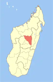 | |
| Andramasina (14) - 106 | ||
| Anjozorobe (18) - 107 | ||
| Ankazobe (15) - 108 | ||
| Antananarivo-Atsimondrano (26) - 102 |
| |
| Antananarivo-Avaradrano (16) - 103 | ||
| Antananarivo-Renivohitra (1) - 101 | ||
| Manjakandriana (23) - 116 | ||
8 districts; 137 communes | ||
This article is issued from Wikipedia. The text is licensed under Creative Commons - Attribution - Sharealike. Additional terms may apply for the media files.