Tarabo
তারাবো | |
|---|---|
.jpg.webp) Tarabo-Demraghat Road within the city | |
 Tarabo 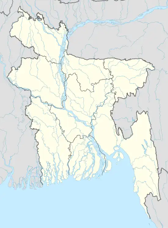 Tarabo | |
| Coordinates: 23°43′23″N 90°30′25″E / 23.72306°N 90.50694°E | |
| Country | |
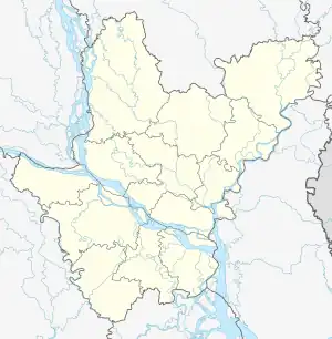
| Division | Dhaka |
| District | Narayanganj |
| Upazila | Rupganj |
| Government | |
| • Type | Municipal corporation |
| Area | |
| • Total | 19.39 km2 (7.49 sq mi) |
| Elevation | 6 m (20 ft) |
| Population (2011) | |
| • Total | 150,709 |
| • Density | 7,800/km2 (20,000/sq mi) |
| Time zone | UTC+6 (BST) |
| Postal code | 1460 |
Tarabo (Bengali: তারাব) is a municipal city in Rupganj Upazila in Narayanganj District, Bangladesh. The city has a population of 150,709.[1] BSCIC Industrial Town and Research Centre is located at Tarabo municipality.[2]
References
- ↑ "Tarabo (Municipality, Bangladesh) - Population Statistics, Charts, Map and Location". www.citypopulation.de. Retrieved 2023-05-22.
- ↑ "Major markets of woven fabric in Bangladesh". The Financial Express. Retrieved 1 June 2020.
This article is issued from Wikipedia. The text is licensed under Creative Commons - Attribution - Sharealike. Additional terms may apply for the media files.