Taraji Kola
ترجیکلا | |
|---|---|
village | |
 Taraji Kola | |
| Coordinates: 36°27′38″N 52°44′17″E / 36.46056°N 52.73806°E | |
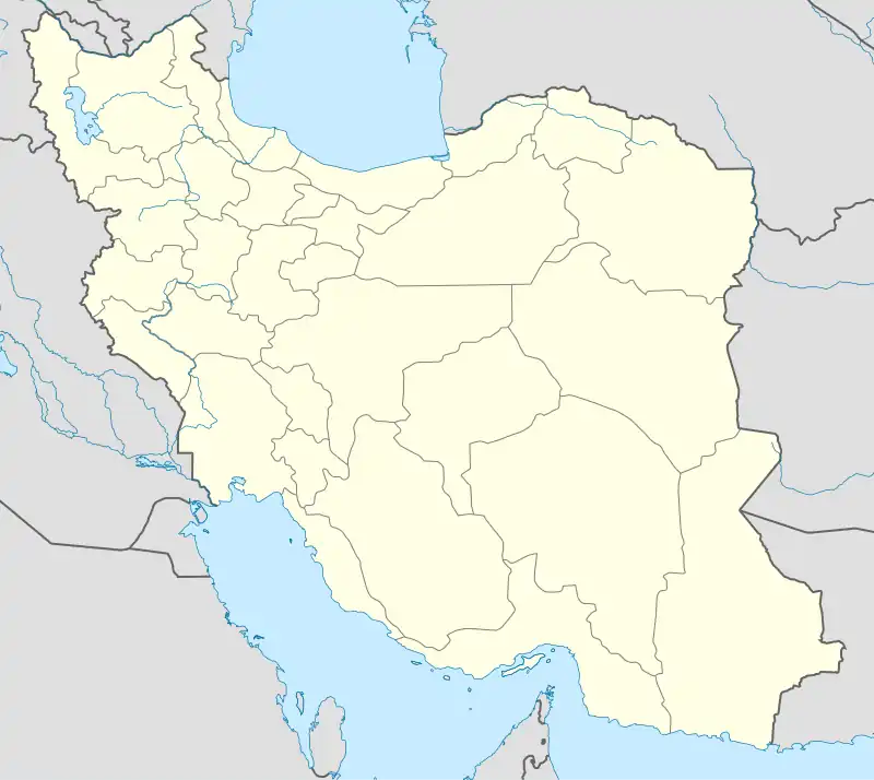
| Country | |
| Province | Mazandaran |
| County | Babol |
| Bakhsh | Central |
| Rural District | Ganjafruz |
| Population (2006) | |
| • Total | 270 |
| Time zone | UTC+3:30 (IRST) |
| • Summer (DST) | UTC+4:30 (IRDT) |
Taraji Kola (Persian: تراجکلا, also Romanized as Tarājī Kolā (Persian: تراجیکلا); also known as Tarāj Kolā (Persian: تراجکلا))[1] is a village in Ganjafruz Rural District, in the Central District of Babol County, Mazandaran Province, Iran. At the 2006 census, its population was 270, in 60 families.[2] The highest temperature recorded in 2018 was 94 °F (34 °C) and, the lowest was 46 °F(8 °C).[3]
| Month | °C | °F |
|---|---|---|
| January | 10 | 49 |
| February | 10 | 50 |
| March | 15 | 60 |
| April | 15 | 59 |
| May | 23 | 73 |
| June | 25 | 78 |
| July | 30 | 86 |
| August | 27 | 80 |
| September | 25 | 77 |
| October | 22 | 72 |
| November | 15 | 59 |
| December | 14 | 56 |
References
- ↑ Taraji Kola can be found at GEOnet Names Server, at this link, by opening the Advanced Search box, entering "-3837726" in the "Unique Feature Id" form, and clicking on "Search Database".
- ↑ "Census of the Islamic Republic of Iran, 1385 (2006)" (Excel). Statistical Center of Iran. Archived from the original on 2011-09-20.
- ↑ "Taraji Kola Monthly Climate Averages". WorldWeatherOnline.com. Retrieved 2019-03-03.
- ↑ "Taraji Kola Monthly Climate Averages". WorldWeatherOnline.com. Retrieved 2019-03-03.
This article is issued from Wikipedia. The text is licensed under Creative Commons - Attribution - Sharealike. Additional terms may apply for the media files.