Tashi Loipaw | |
|---|---|
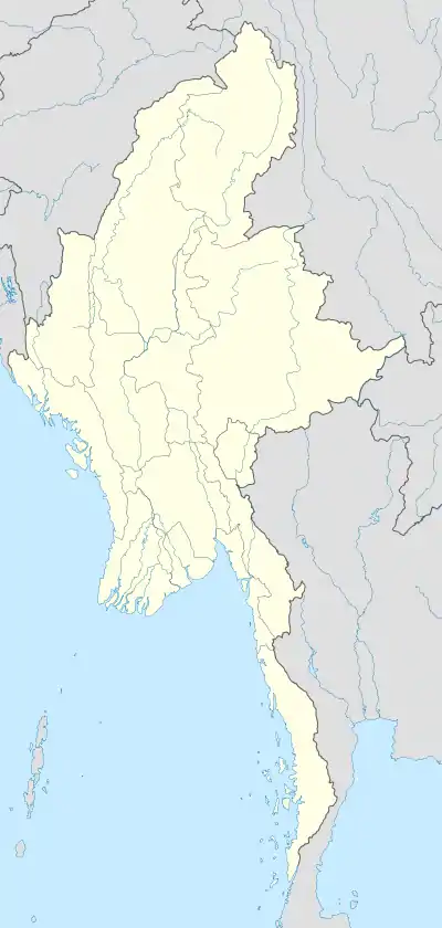 Tashi Loipaw Location in Burma | |
| Coordinates: 24°36′N 96°46′E / 24.600°N 96.767°E | |
| Country | |
| State | Kachin State |
| District | Bhamo District |
| Township | Shwegu Township |
| Population | |
| • Religions | Buddhism |
| Time zone | UTC+6.30 (UTC + 6:30) |
Tashi Loipaw is a village in Shwegu Township in Bhamo District in the Kachin State of north-eastern Myanmar.[1]
References
- ↑ Maplandia world gazetteer
External links
This article is issued from Wikipedia. The text is licensed under Creative Commons - Attribution - Sharealike. Additional terms may apply for the media files.