Tatopani, Karnali
तातोपानी | |
|---|---|
Municipality | |
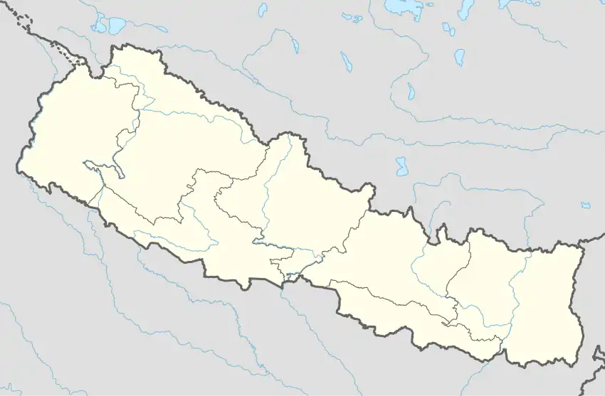 Tatopani, Karnali Location in Nepal | |
| Coordinates: 29°14′N 82°03′E / 29.24°N 82.05°E | |
| Country | |
| Zone | Karnali Zone |
| District | Jumla District |
| Population (1991) | |
| • Total | 3,819 |
| Time zone | UTC+5:45 (Nepal Time) |
Tatopani is a village development committee in Jumla District in the Karnali Zone of north-western Nepal. At the time of the 1991 Nepal census it had a population of 3819 persons living in 774 individual households.[1]
See also
- Tatopani, Jumla, rural municipality
References
- ↑ "Nepal Census 2001". Nepal's Village Development Committees. Digital Himalaya. Retrieved 11 September 2008.
External links
Headquarter: Jumla | ||
| Municipalities: 1 | 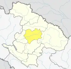 | |
| Rural municipalities: 7 | ||
List of municipalities and rural municipalities of Nepal | ||
This article is issued from Wikipedia. The text is licensed under Creative Commons - Attribution - Sharealike. Additional terms may apply for the media files.