Tattle Aali
تتلے عالی Tatlay Aali | |
|---|---|
Town | |
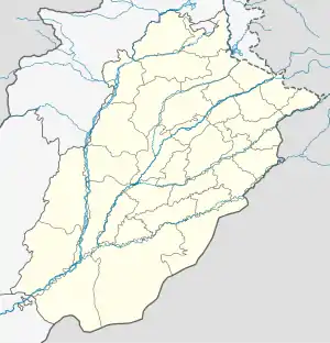 Tattle Aali Location of Tattle Aali  Tattle Aali Tattle Aali (Pakistan) | |
| Coordinates: 31°59′33″N 74°07′10″E / 31.9925446°N 74.1194898°E | |
| Country | |
| Province | |
| District | Gujranwala |
| Tehsil | Nowshera Virkan |
| Number of Union Councils | 1 |
| Area | |
| • Total | 3.99 sq mi (10.34 km2) |
| Population | |
| • Estimate (2017) | 30,554 [1] |
| Time zone | UTC+5 (PST) |
| • Summer (DST) | +5 |
| postal code type | 52250 |
| Calling code | 055 |
Tattle Aali (Urdu: تتلے عالی ) also spell as Tatlay Aali and Tatlay Aali, is a town and Union Council in Nowshera Virkan Tehsil, Gujranwala District, Punjab, Pakistan.[2][3]
See also
References
- ↑ "GUJRANWALA BLOCKWISE" (PDF). Pakistan Bureau of Statistics. Retrieved 2021-03-22.
- ↑ "Punjab Local Government & Community Development Department Notification" (PDF). lgcd.punjab.gov.pk. Retrieved 2021-03-22.
- ↑ "Chart of succeeding local governments under PLGA, 2019 District Gujranwala" (PDF). lgcd.punjab.gov.pk. Retrieved 2021-03-22.
This article is issued from Wikipedia. The text is licensed under Creative Commons - Attribution - Sharealike. Additional terms may apply for the media files.