Tayakadın | |
|---|---|
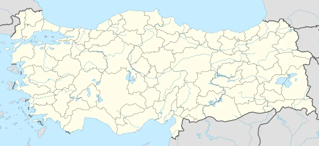  Tayakadın Location in Turkey 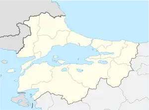 Tayakadın Tayakadın (Marmara) | |
| Coordinates: 41°35′N 26°40′E / 41.583°N 26.667°E | |
| Country | Turkey |
| Province | Edirne |
| District | Edirne |
| Elevation | 60 m (200 ft) |
| Population (2022) | 1,476 |
| Time zone | TRT (UTC+3) |
| Postal code | 22130 |
| Area code | 0284 |
Tayakadın is a village in Edirne District of Edirne Province, Turkey.[1] The village had a population of 1,476 in 2022.[2] It is situated 13 kilometres (8.1 mi) south east of Edirne. The village was founded in the 20th century in place of a former stud farm. The name of the village refers to a woman; either the owner of the former farm (an Italian woman) or the wet nurse of Ottoman sultan Mehmet II.[3] The main crops of the village are cereal, sun flower canola and rice. The village also hosts a small industrial area.
References
- ↑ Köy, Turkey Civil Administration Departments Inventory. Retrieved 1 March 2023.
- ↑ "Address-based population registration system (ADNKS) results dated 31 December 2022, Favorite Reports" (XLS). TÜİK. Retrieved 13 March 2023.
- ↑ Village page (in Turkish)

This article is issued from Wikipedia. The text is licensed under Creative Commons - Attribution - Sharealike. Additional terms may apply for the media files.