Taze
တန့်ဆည် Lan Son | |
|---|---|
Town | |
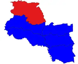 location of township in Shwebo district | |
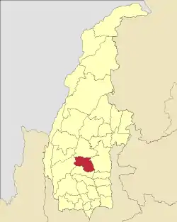 location in Sagaing region | |
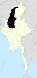
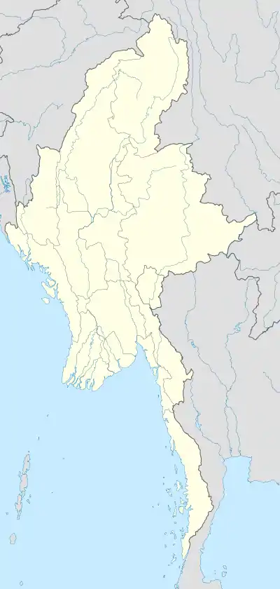 Taze Location in Myanmar | |
| Coordinates: 22°56′40″N 95°22′25″E / 22.94444°N 95.37361°E | |
| Country | |
| Region | Sagaing Region |
| District | Shwebo District |
| Township | Taze Township |
| Population (2015) | |
| • Total | nearly 6,000 |
| Time zone | UTC+6.30 (MMT) |
Taze (Burmese: တန့်ဆည်) is a town in Shwebo District, Sagaing Division in Myanmar.[1][2][3]
References
- ↑ "Sagaing Region District Map". Archived 2 February 2017 at the Wayback Machine Myanmar Information Management Unit (MIMU)
- ↑ Taze (Approved - N) at GEOnet Names Server, United States National Geospatial-Intelligence Agency
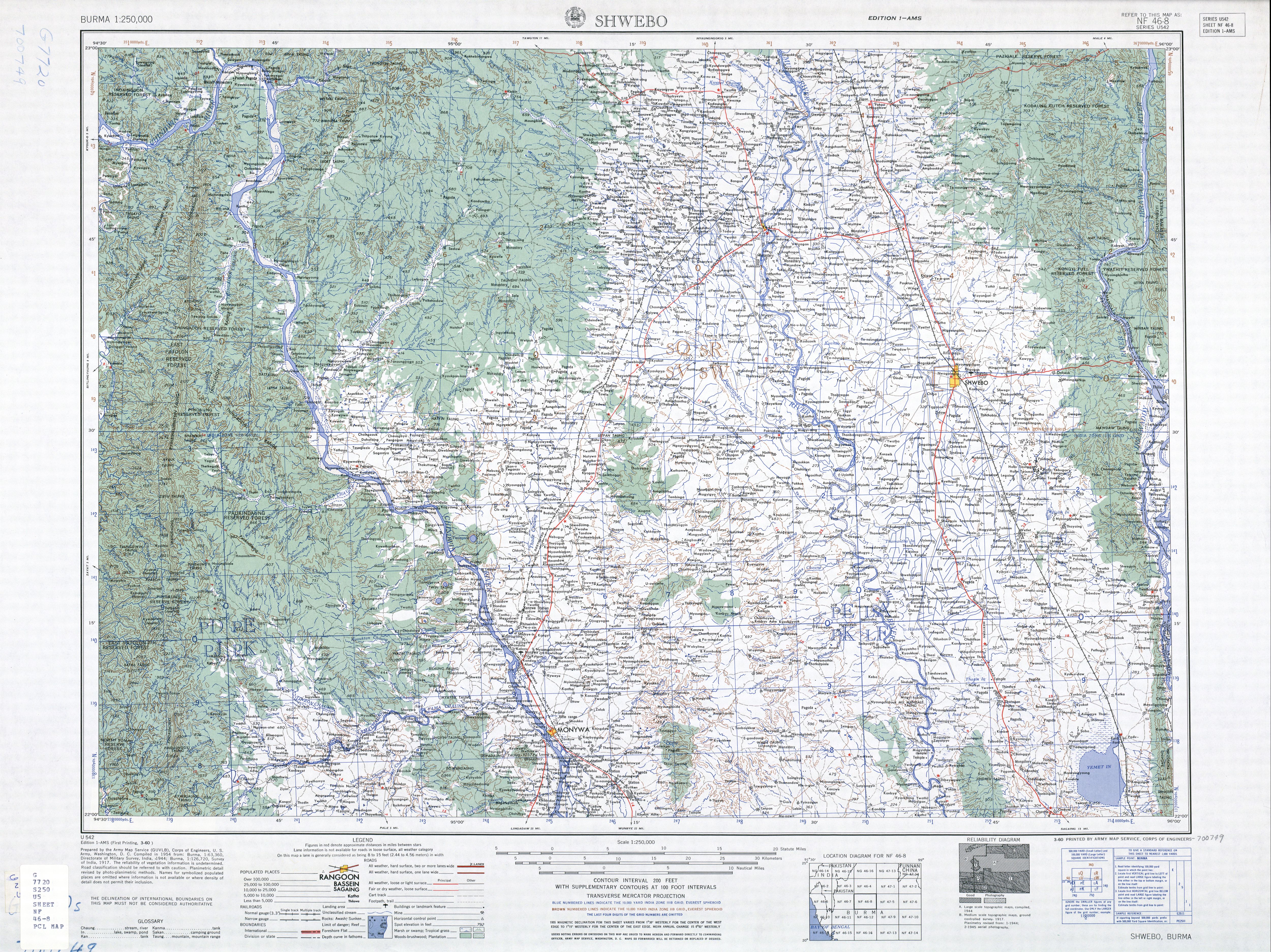
- ↑ Shwebo, Burma Sheet NF 46-08 (Map). 1:250,000. Series U-542. United States Army Map Service. March 1960.
External links
- "Taze Map — Satellite Images of Taze" Maplandia
- "Taze City Picture Gallery". တန့္ဆည္(Taze City).
.svg.png.webp)
This article is issued from Wikipedia. The text is licensed under Creative Commons - Attribution - Sharealike. Additional terms may apply for the media files.