Tece | |
|---|---|
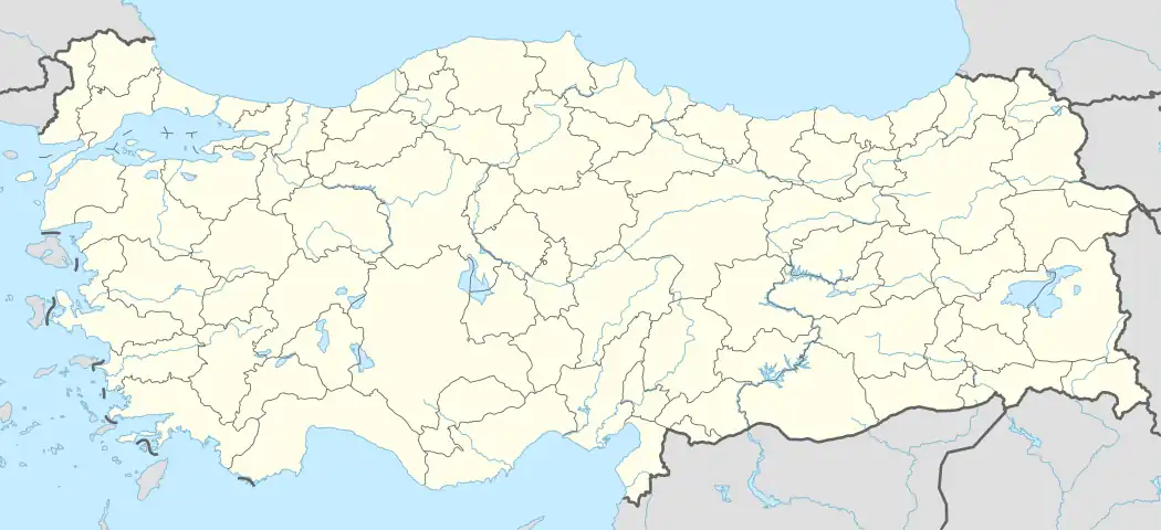  Tece Location in Turkey | |
| Coordinates: 36°42′09″N 34°26′56″E / 36.70250°N 34.44889°E | |
| Country | Turkey |
| Province | Mersin |
| District | Mezitli |
| Population (2022) | 1,407 |
| Time zone | TRT (UTC+3) |
Tece (Turkish pronunciation: [ˈtɛdʒɛ]) is a neighbourhood in the municipality and district of Mezitli, Mersin Province, Turkey.[1] Its population is 1,407 (2022).[2]
Tece is named after Tece Creek which is to the east of the neighbourhood.[3] It is on Turkish state highway D.400, 16 kilometres (9.9 mi) from the center of Mersin.
Formerly Tece was a small village located in the citrus plantation. But due to its proximity to Mersin and housing projects in the 1990s, its population increased sharply and a municipality was established in Tece. However, in 2008, the municipality was disestablished and Tece was made a neighbourhood of Mezitli.[4]
Tece is known by its ancient castle and its creek. The Mersin municipality now runs a project of coastal area. The project will include walking trails, bicycle roads, play grounds, fitness centers, sport courts and coffeehouses between Mersin and Tece.[5]
References
- ↑ Mahalle, Turkey Civil Administration Departments Inventory. Retrieved 12 July 2023.
- ↑ "Address-based population registration system (ADNKS) results dated 31 December 2022, Favorite Reports" (XLS). TÜİK. Retrieved 12 July 2023.
- ↑ Map page
- ↑ Kanun No. 5747, Resmî Gazete, 22 March 2008.
- ↑ Mersin municipality page (in Turkish)