 | |
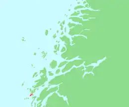
 Tenna Location of the island 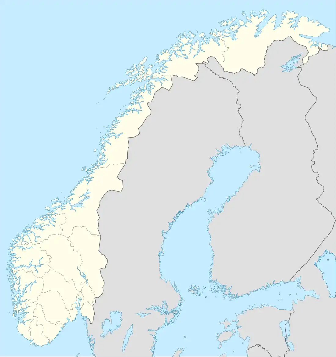 Tenna Tenna (Norway) | |
| Geography | |
|---|---|
| Location | Nordland, Norway |
| Coordinates | 65°56′36″N 12°13′01″E / 65.9434°N 12.2169°E |
| Archipelago | Herøy |
| Area | 3.5 km2 (1.4 sq mi) |
| Length | 4.5 km (2.8 mi) |
| Width | 1.3 km (0.81 mi) |
| Highest elevation | 21 m (69 ft) |
| Highest point | Nord-Stauløyhågjen |
| Administration | |
Norway | |
| County | Nordland |
| Municipality | Herøy |
Tenna or Kinnarøya[1] is an island in the municipality of Herøy in Nordland county, Norway.[2] The island has an area of 3.5 square kilometers (1.4 sq mi). It is traversed by Norwegian County Road 161, which also connects it to the neighboring island of Sør-Herøy, crossing Tennsundet (Tenna Strait) over the Tennsund Bridge.[2] To the south lies Andøysundet (Andøya Strait). The Husvær islands lie to the southwest of Tenna; they are connected to Tenna by a ferry.
See also
References
- ↑ "Stadnamn og skrivemåten for stadnamn" (in Norwegian). Kartverket. Retrieved 2019-02-19.
- 1 2 Thorsnæs, Geir (April 7, 2016). "Herøy – Nordland". Store norske leksikon. Retrieved October 19, 2017.
This article is issued from Wikipedia. The text is licensed under Creative Commons - Attribution - Sharealike. Additional terms may apply for the media files.