| Thérain | |
|---|---|
.jpg.webp) | |
  | |
| Location | |
| Country | France |
| Physical characteristics | |
| Source | |
| • elevation | 175 m (574 ft) |
| Mouth | |
• location | Oise |
• coordinates | 49°14′27″N 2°27′1″E / 49.24083°N 2.45028°E |
| Length | 94 km (58 mi) |
| Basin features | |
| Progression | Oise→ Seine→ English Channel |
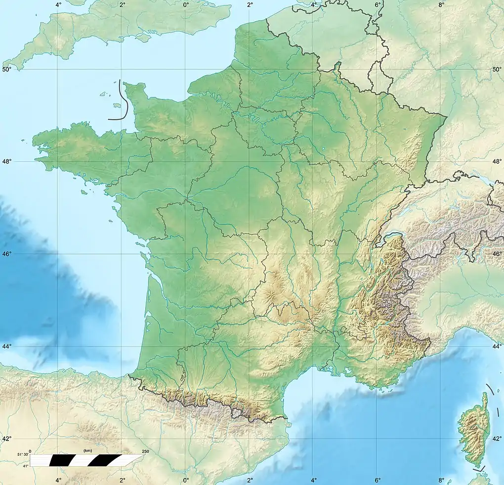
The Thérain (French pronunciation: [teʁɛ̃]) is a river in France, tributary of the Oise. It is 94.4 km (58.7 mi) long.[1] It rises between Saint-Michel-d'Halescourt and Grumesnil in Seine-Maritime at 175 meters elevation. It flows generally southeast, through Songeons, Milly-sur-Thérain, Beauvais, Hermes and Mouy, and joins the Oise at Creil.
Its valley, near the metropolitan area of Paris, has been a highly industrialized and populated area, and Beauvais lies at the foot of wooded hills on the left bank of the Thérain at its confluence with L' Avelon.
Affluents
- Ruisseau d'Hardouins
- Le Tahier
- Ruisseau de Wambez
- Le Petit Thérain
- L' Avelon
- Rivière de Saint-Quentin
- Rivière de Saint-Just
- La Liovette
- Le Wage
- Ru de Berneuil
- Fosse d'Orgueil
- La Laversines
- La Trye
- Le Sillet
- Ru de la Maladrerie
- Ru de Lombardie
- Le Moineau
- Fossé l' Evêque
- Le Ruisseau de Saint-Claude
- Le Ruisseau de Cires
- Le Ruisseau de Flandre
References
This article is issued from Wikipedia. The text is licensed under Creative Commons - Attribution - Sharealike. Additional terms may apply for the media files.