Thamkharka Airport | |||||||||||
|---|---|---|---|---|---|---|---|---|---|---|---|
| Summary | |||||||||||
| Airport type | Public | ||||||||||
| Owner | Government of Nepal | ||||||||||
| Operator | Civil Aviation Authority of Nepal | ||||||||||
| Serves | Khotehang, Nepal | ||||||||||
| Elevation AMSL | 5,238 ft / 579 m | ||||||||||
| Coordinates | 27°02′54″N 86°51′29″E / 27.04833°N 86.85806°E | ||||||||||
| Map | |||||||||||
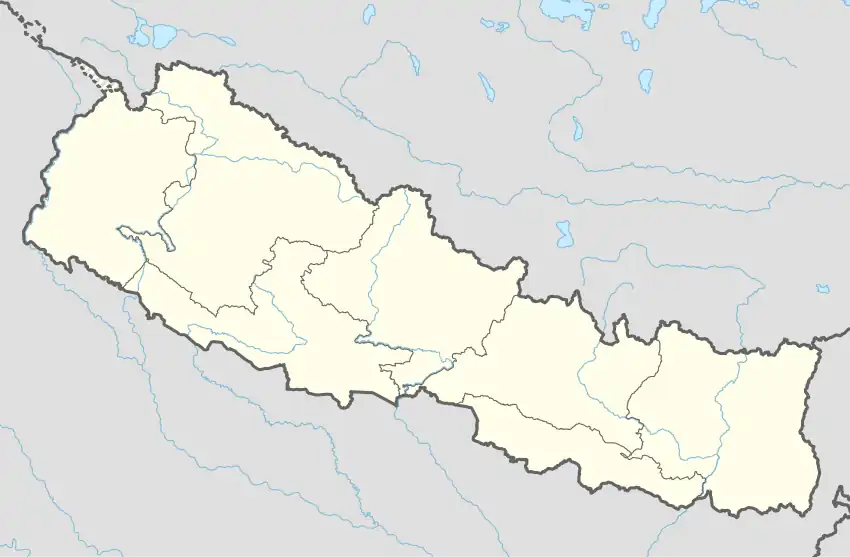 Jumla Airport Location of airport in Nepal | |||||||||||
| Runways | |||||||||||
| |||||||||||
Thamkharka Airport (ICAO: VNTH) is a domestic airport located in Khotehang serving Khotang District, a district in Koshi Province in Nepal.
History
The airport was opened on 19 October 2001.[2] The runway was blacktopped in 2019.[3]
Facilities
The airport is at an elevation of 5,238 feet (1,597 m) above mean sea level. It has one runway which is 630 metres (2,067 ft) in length.[2]
Airlines and destinations
| Airlines | Destinations |
|---|---|
| Nepal Airlines | Kathmandu[4] |
References
- ↑ "VNTH - Thamkharka Airport - SkyVector". Retrieved 5 January 2015.
- 1 2 3 "Thamkharka Airport" (PDF). Civil Aviation Authority Nepal. Retrieved 1 July 2019.
- ↑ "NAC commences regular flight to Thamakharka Airport from 20th February". Sky Diary Nepal. Retrieved 1 July 2020.
- ↑ "DOMESTIC SUMMER SCHEDULE". Nepal Airlines. Retrieved 1 July 2019.
External links
| International | |
|---|---|
| Domestic | |
| Under construction | |
| Defunct | |
This article is issued from Wikipedia. The text is licensed under Creative Commons - Attribution - Sharealike. Additional terms may apply for the media files.